FAQs
What is Aerius View and How Does it Work? Aerius View is a platform designed to connect clients seeking aerial survey services with trusted, local contractors. Our process is straightforward: clients submit their project requirements through our website, and we match them with suitable contractors from our vetted network. This streamlined approach saves time and ensures that clients find the right expertise for their unique projects.
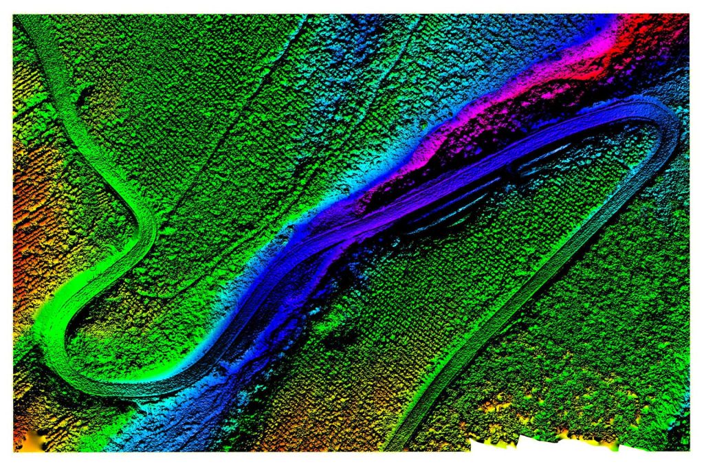
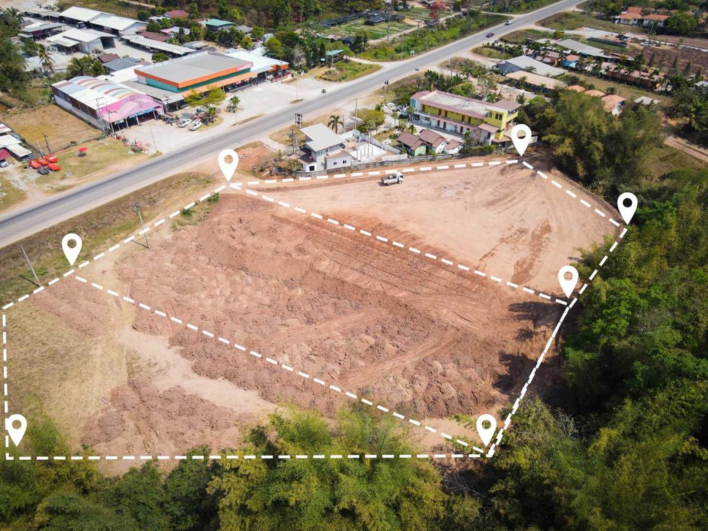
What Types of Aerial Survey Services Can I Find Through Aerius View? Our platform encompasses a wide range of aerial survey services, including topographic surveys, construction progress monitoring, environmental monitoring, infrastructure inspection, mapping and GIS services, disaster response and recovery, and agricultural surveys. Whether you’re in construction, environmental assessment, or another field, we can help you find the specialized services you need.
How Do You Ensure the Quality of Your Contractor Network? We take the quality of our contractor network very seriously. Each contractor must meet our stringent standards, which include verification of licensure, insurance, equipment, and customer service reputation. This careful vetting process allows us to confidently connect clients with the best professionals for their needs.
What Information Do I Need to Provide to Get Started? To get started, simply submit your project requirements through our website. Please provide as much detail as possible, including the location of your project, the type of aerial survey service you need, and any specific requirements or deadlines you have. This information will help us match you with the most suitable contractor from our network.
How Much Does it Cost to Use Aerius View? For clients, our service is free. We don’t charge for submitting project requirements or for being matched with a contractor. Our revenue model is based on partnerships with our contractor network, ensuring that our service remains cost-effective for you.
Can I Choose My Own Contractor or Do You Assign One? While we assign a contractor based on your project requirements, we also provide you with the contractor’s profile and contact information. If, for any reason, you’d like to explore alternative options, please let us know, and we’ll do our best to accommodate your request.
What if I Have Questions or Concerns About My Project or Contractor? We’re here to help. If you have any questions or concerns about your project or the contractor assigned to you, please don’t hesitate to reach out to us directly. Our team is committed to providing personalized support to ensure your experience with Aerius View is positive and productive.


Get Your Aerial Expert
Discover the Aerius View difference: Expertise empowering projects through seamless integration of innovative aerial surveying solutions, enhancing your understanding of our expertise and technology.