Services of Aerius View's vetted aerial surveyors
Unlocking Efficiency in Topographic Surveys
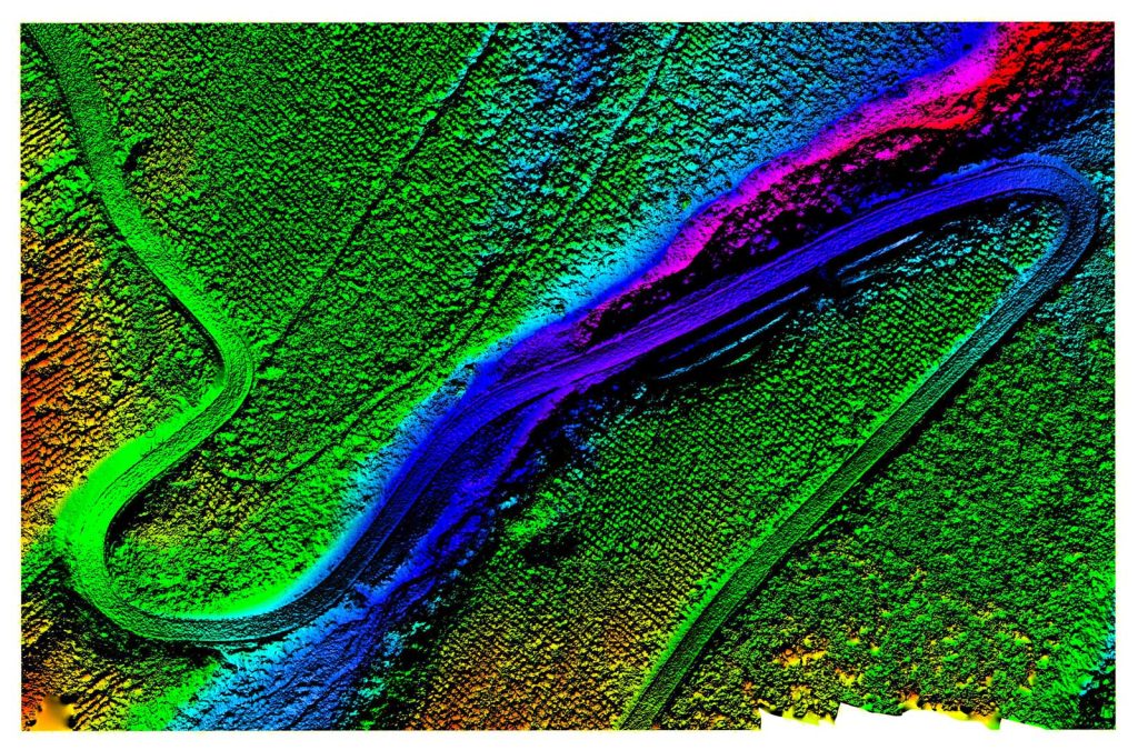
For projects requiring precise terrain mapping, our vetted aerial surveyors utilize advanced drone technology to capture high-resolution topographic data. This enables our customers in construction, engineering, and environmental sectors to make informed decisions, ensuring their projects are built on accurate foundations. With Aerius View, you can expect rapid data turnaround, reduced costs, and enhanced project timelines. Our experts will work closely with you to deliver tailored topographic surveys, including elevation modeling, contour mapping, and more.
Streamlining Construction Monitoring with Aerial Insights
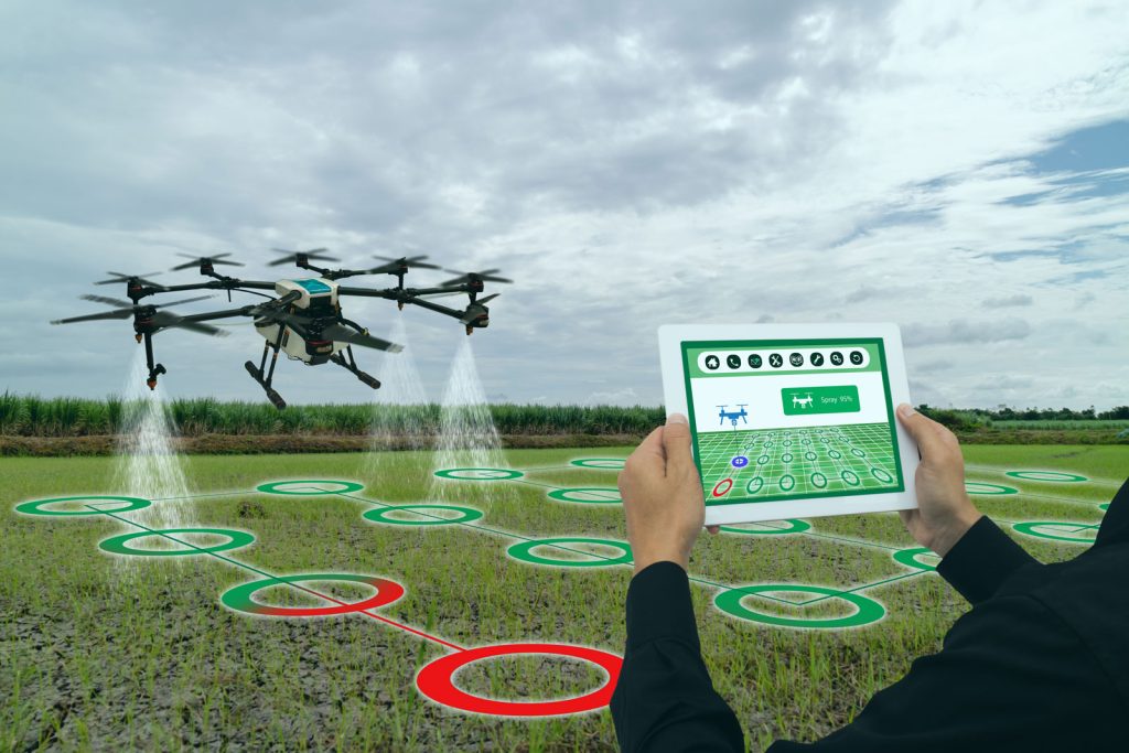
Aerius View’s construction monitoring services empower project managers to track progress, identify potential issues, and make data-driven decisions. Our vetted aerial surveyors employ cutting-edge drones to capture regular site inspections, providing actionable insights on project development. This collaborative approach enables our customers to optimize resource allocation, reduce delays, and enhance overall project delivery. By leveraging our expertise, you’ll gain a competitive edge in the construction industry, with the ability to:
- Track progress against project schedules
- Conduct change detection analysis
- Enhance site safety with regular aerial inspections
Environmental Monitoring, Elevated
In the pursuit of sustainable development, Aerius View’s environmental monitoring services offer a unique perspective on ecological health. Our vetted aerial surveyors specialize in assessing vegetation health, monitoring water quality, and tracking wildlife habitats. This expertise supports environmental consultants, conservationists, and researchers in making informed decisions, ultimately contributing to a more sustainable future. By partnering with us, you’ll:
- Gain a deeper understanding of ecosystem dynamics
- Inform conservation efforts with precise data
- Develop effective strategies for environmental stewardship
Infrastructure Inspection, Simplified
Aerius View’s infrastructure inspection services provide a safe, efficient, and cost-effective solution for assessing the condition of critical assets. Our vetted aerial surveyors utilize advanced drone technology to inspect bridges, roads, utilities, and more, delivering high-resolution data that informs maintenance, repair, and replacement decisions. By collaborating with our experts, you’ll:
- Enhance public safety through regular inspections
- Extend the lifespan of critical infrastructure
- Optimize maintenance budgets with data-driven insights
Land Development, from Concept to Completion
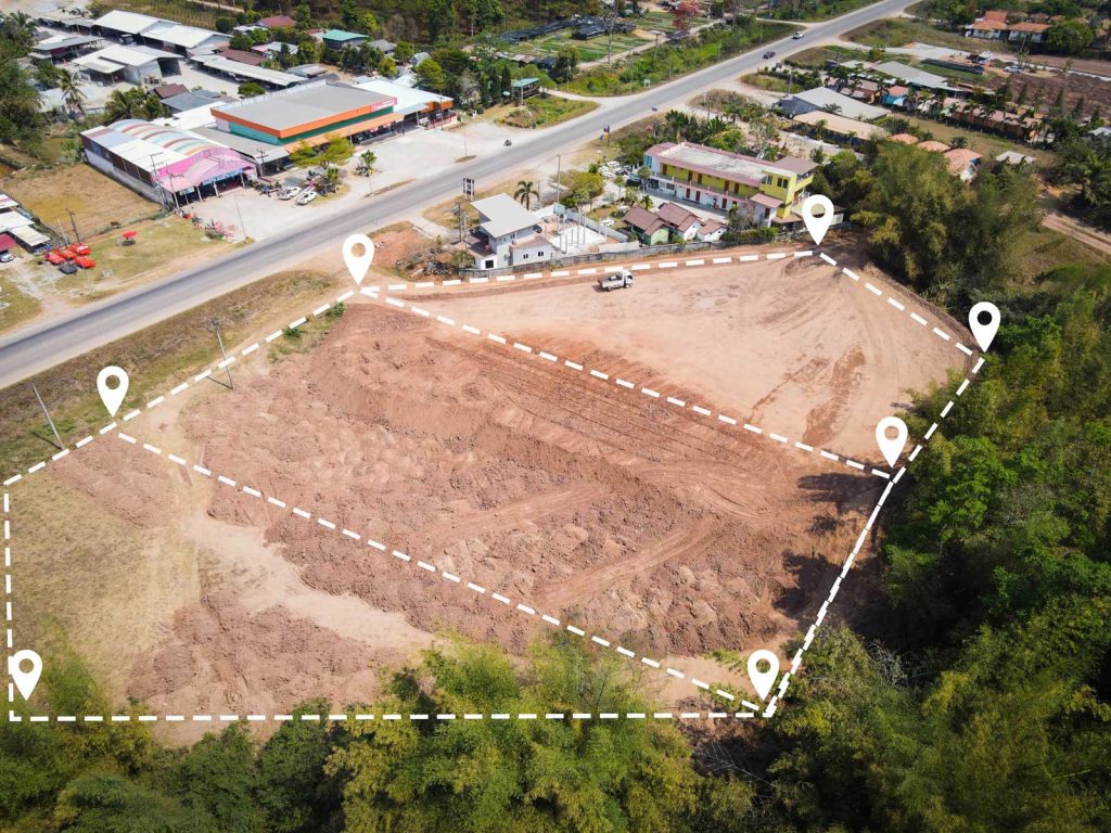
For developers, architects, and urban planners, Aerius View offers comprehensive land development surveys, encompassing boundary mapping, zoning analysis, and site planning. Our vetted aerial surveyors work closely with you to ensure seamless project execution, from initial concept to final completion. By leveraging our expertise, you’ll:
- Identify optimal site locations and layouts
- Navigate complex zoning regulations with confidence
- Create vibrant, sustainable communities
Expert Support for Specialized Projects
In addition to our core services, Aerius View’s vetted aerial surveyors can assist with specialized projects, including LiDAR surveys, multispectral imaging, thermal imaging, GPR surveys, and bathymetric mapping. Our flexible approach ensures that we can adapt to your unique project requirements, providing tailored solutions that drive success.
Why Choose Aerius View?
- Vetted Experts: Our aerial surveyors are carefully selected for their expertise and commitment to delivering exceptional results.
- Streamlined Process: We manage the entire process, from project initiation to data delivery, ensuring a seamless experience.
- Tailored Solutions: Our flexible approach guarantees that you receive customized services, addressing your specific project needs.
- Enhanced Efficiency: By leveraging our services, you’ll reduce costs, accelerate project timelines, and make informed decisions with precise data.

Get Your Aerial Expert
Discover the Aerius View difference: Expertise empowering projects through seamless integration of innovative aerial surveying solutions, enhancing your understanding of our expertise and technology.