Our latest Articles

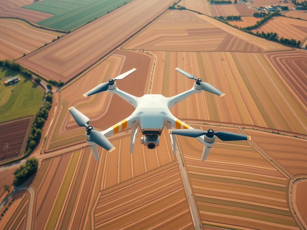
Drone Surveying Techniques Fast Land Mapping Secrets
The use of modern technology has significantly reshaped the landscape of land surveying, enabling quicker and more precise methods for…Drone Surveying Techniques Fast Land Mapping Secrets
The use of modern technology has significantly reshaped the landscape of land surveying, enabling quicker and more precise methods for…Mining Surveying Drone Solutions Transform Inspections With Drones
Recent advancements in technology have enabled the mining sector to utilize aerial systems for inspections, significantly enhancing operational performance. Employing…Mining Surveying Drone Solutions Transform Inspections With Drones
Recent advancements in technology have enabled the mining sector to utilize aerial systems for inspections, significantly enhancing operational performance. Employing…UAV Surveying Techniques Elevate Drone Mapping
Innovations in technology are driving a transformation in mapping processes. Unmanned aerial vehicles equipped with high-resolution cameras and Lidar systems…UAV Surveying Techniques Elevate Drone Mapping
Innovations in technology are driving a transformation in mapping processes. Unmanned aerial vehicles equipped with high-resolution cameras and Lidar systems…Uav Mapping Near Me Aerial Insights
Utilizing advanced aerial technologies has transformed the landscape of geographical data collection. Drones offer unparalleled opportunities for gathering high-resolution imagery,…Uav Mapping Near Me Aerial Insights
Utilizing advanced aerial technologies has transformed the landscape of geographical data collection. Drones offer unparalleled opportunities for gathering high-resolution imagery,…