January 24, 2025Advanced techniques in data collection enable the observation of Earth from unique vantage points. Among the notable features of NASA…
- January 23, 2025Technological innovations have reshaped methods for collecting and analyzing geographical information, significantly improving efficiency and accuracy. Unmanned aerial vehicles (UAVs)…
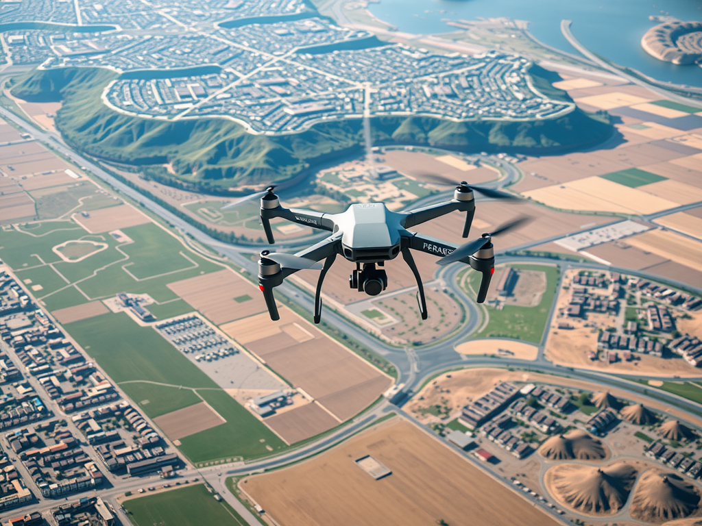
- January 23, 2025Technological innovations have reshaped methods for collecting and analyzing geographical information, significantly improving efficiency and accuracy. Unmanned aerial vehicles (UAVs)…
- January 23, 2025Technological innovations have reshaped methods for collecting and analyzing geographical information, significantly improving efficiency and accuracy. Unmanned aerial vehicles (UAVs)…
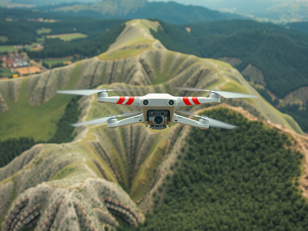
- January 22, 2025Innovative methods are reshaping the landscape of modern land assessment. Aerial surveys utilize unmanned aerial vehicles (UAVs) to collect high-resolution…
- January 22, 2025Innovative methods are reshaping the landscape of modern land assessment. Aerial surveys utilize unmanned aerial vehicles (UAVs) to collect high-resolution…
- January 22, 2025Innovative methods are reshaping the landscape of modern land assessment. Aerial surveys utilize unmanned aerial vehicles (UAVs) to collect high-resolution…
- January 21, 2025The advent of advanced mapping technologies has transformed how professionals approach geographical data collection. Utilizing unmanned aerial vehicles (UAVs), these…
- January 21, 2025The advent of advanced mapping technologies has transformed how professionals approach geographical data collection. Utilizing unmanned aerial vehicles (UAVs), these…
- January 21, 2025The advent of advanced mapping technologies has transformed how professionals approach geographical data collection. Utilizing unmanned aerial vehicles (UAVs), these…