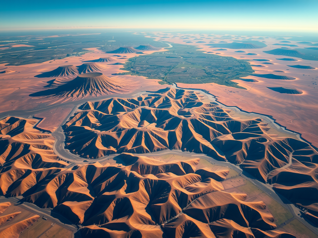
February 9, 2025Utilizing advanced aerial technologies has transformed the landscape of geographical data collection. Drones offer unparalleled opportunities for gathering high-resolution imagery,…
- February 9, 2025Utilizing advanced aerial technologies has transformed the landscape of geographical data collection. Drones offer unparalleled opportunities for gathering high-resolution imagery,…
- February 8, 2025Innovative techniques for capturing geographical data have transformed how various industries operate. Utilizing unmanned aerial vehicles allows for the creation…
- February 8, 2025Innovative techniques for capturing geographical data have transformed how various industries operate. Utilizing unmanned aerial vehicles allows for the creation…
- December 13, 2024The evolution of technology has significantly enhanced the efficiency of collecting data from high above. Implementing sound techniques while conducting…
- December 6, 2024Innovations in technology are driving a transformation in mapping processes. Unmanned aerial vehicles equipped with high-resolution cameras and Lidar systems…