Our latest Articles

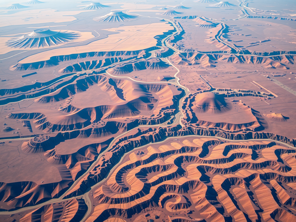
Aerial Photography Techniques Stunning Drone Shots
The rise of drone technology has transformed the landscape of photography, allowing for the exploration of angles that were previously…Aerial Photography Techniques Stunning Drone Shots
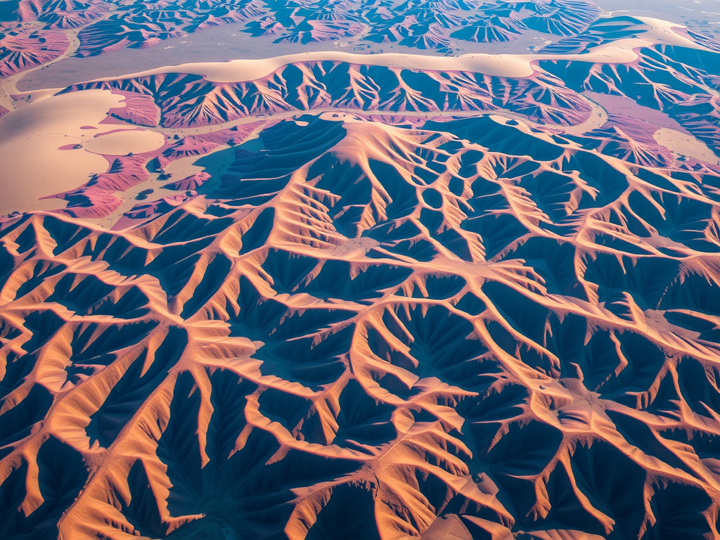
The rise of drone technology has transformed the landscape of photography, allowing for the exploration of angles that were previously…Geospatial Data Analysis Trends 2024 Insights On GIS Evolution
Emerging innovations are set to redefine how industries approach data analysis related to spatial information. The evolution of Geographic Information…Geospatial Data Analysis Trends 2024 Insights On GIS Evolution
Emerging innovations are set to redefine how industries approach data analysis related to spatial information. The evolution of Geographic Information…Geospatial Data Analysis Trends 2024 Insights On GIS Evolution
Emerging innovations are set to redefine how industries approach data analysis related to spatial information. The evolution of Geographic Information…UAV Survey Applications Elevate Mapping With Drones
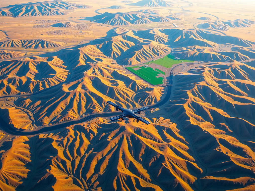
Utilizing advanced technology in aerial data collection has markedly refined the processes associated with mapping. Drones are capable of capturing…UAV Survey Applications Elevate Mapping With Drones
Utilizing advanced technology in aerial data collection has markedly refined the processes associated with mapping. Drones are capable of capturing…UAV Survey Applications Elevate Mapping With Drones
Utilizing advanced technology in aerial data collection has markedly refined the processes associated with mapping. Drones are capable of capturing…