February 3, 2025Innovations within aerial data collection have positioned recent developments in 3D imaging as significant contributors to enhancing measurement systems. The…
- February 3, 2025Innovations within aerial data collection have positioned recent developments in 3D imaging as significant contributors to enhancing measurement systems. The…
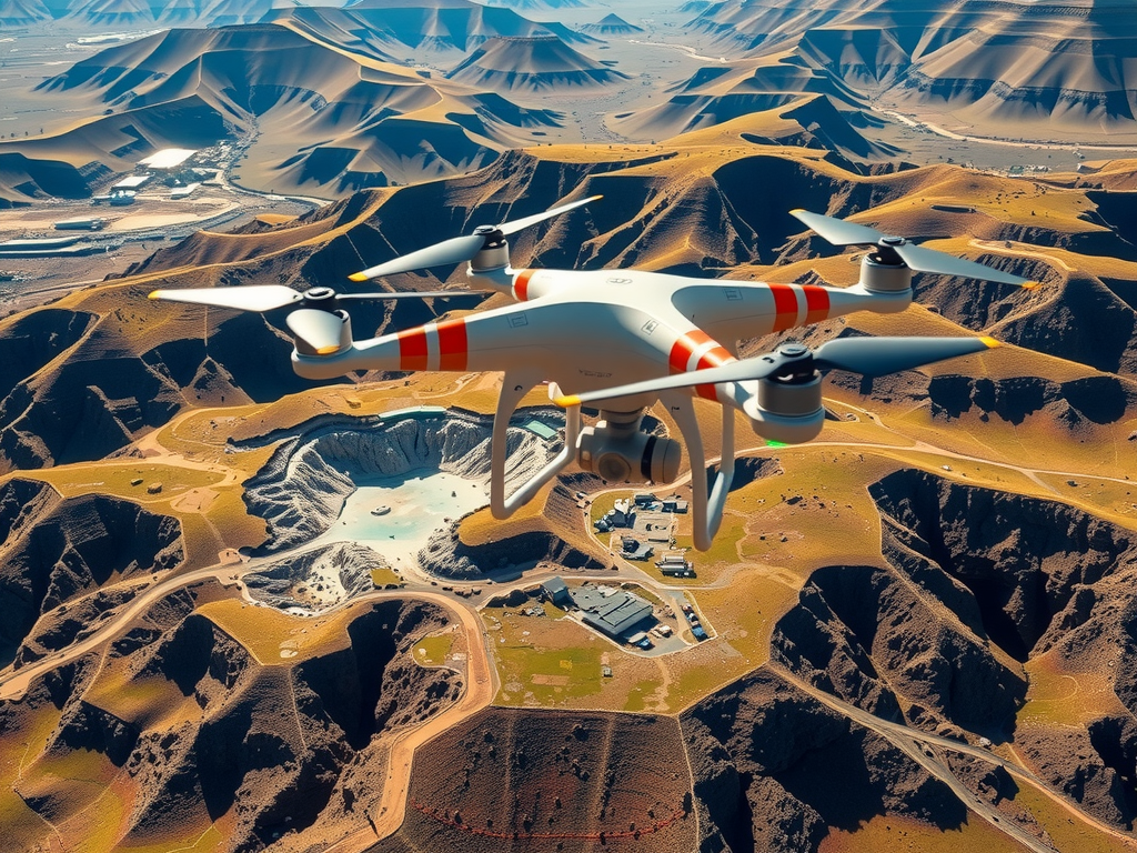
- February 2, 2025Technological advancements in the use of unmanned aerial vehicles have revolutionized data collection across multiple sectors. These aerial systems capture…
- February 2, 2025Technological advancements in the use of unmanned aerial vehicles have revolutionized data collection across multiple sectors. These aerial systems capture…
- February 1, 2025Innovations in aerial surveying are transforming the landscape of data collection and spatial analysis across various sectors. The use of…
- February 1, 2025Innovations in aerial surveying are transforming the landscape of data collection and spatial analysis across various sectors. The use of…
- January 31, 2025Recent advancements in imaging technology are revolutionizing data collection across various sectors. Drones equipped with high-resolution cameras offer capabilities that…
- January 31, 2025Recent advancements in imaging technology are revolutionizing data collection across various sectors. Drones equipped with high-resolution cameras offer capabilities that…
- January 30, 2025The integration of aerial technology into the surveying process marks a significant shift in how data is collected and analyzed.…
- January 30, 2025The integration of aerial technology into the surveying process marks a significant shift in how data is collected and analyzed.…