Our latest Articles

Aerial Surveying Regulations Know Your Compliance
Adhering to established guidelines is paramount for ensuring successful operations within the aerial survey industry. Familiarity with these mandates can…Aerial Surveying Regulations Know Your Compliance
Adhering to established guidelines is paramount for ensuring successful operations within the aerial survey industry. Familiarity with these mandates can…Drone Survey Best Practices Aerial Mapping Secrets
The evolution of technology has significantly enhanced the efficiency of collecting data from high above. Implementing sound techniques while conducting…Aerial Data Collection Methods Unique Drone Survey Insights
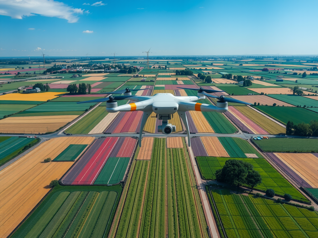
The advancements in technology have significantly reshaped how professionals conduct data collection. Unmanned aerial vehicles equipped with high-quality cameras and…UAV Surveying Applications Map Magic
Transformative technology enables industries to enhance their capabilities in capturing and analyzing spatial data. Equipped with sophisticated sensors, these flying…UAV Data Collection Methods Aerial Insights For Surveying
Precision defines the landscape of modern surveying, where advanced techniques transform traditional practices. Unmanned aerial vehicles have emerged as powerful…Aerial Photography For Surveying Precision Mapping Unleashed
Innovative imaging techniques are transforming surveying practices, providing a new level of detail and accuracy. Utilizing advanced technology, professionals can…Aerial Mapping Solutions Swift Maps
Innovative techniques for capturing geographical data have transformed how various industries operate. Utilizing unmanned aerial vehicles allows for the creation…