Drone Survey Services in Albuquerque, NM
High desert mesa landscape with Sandia Mountains backdrop and Rio Grande corridor
Serving Bernalillo County & the Albuquerque Metropolitan Area area
Request a Free Quote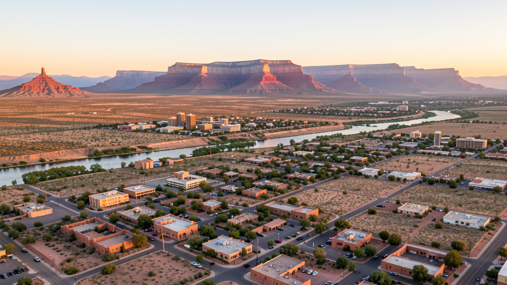
Get Matched With a Local Surveyor
Drone Survey Services Available in Albuquerque, NM
Albuquerque construction spans defense infrastructure at Kirtland AFB, healthcare campus expansion at UNM, and residential development along the West Mesa. The city elevation of 5,300 feet creates density altitude challenges for drone operations in summer months.
Drone Surveys for Albuquerque's Construction Market
Albuquerque is experiencing steady growth driven by defense contracting, healthcare expansion, and film industry infrastructure. Major projects include the EPCOR water utility infrastructure upgrades, the Albuquerque Convention Center renovation, and continued buildout at Mesa del Sol. The city is also seeing significant data center interest due to low land costs and renewable energy availability.
Active Developers in the Area:
- Mesa del Sol Development — Master-planned community south of Albuquerque with residential and commercial phases
- PNM Resources — Utility infrastructure and solar array installations
- University of New Mexico Health Sciences — Hospital expansion and research facility construction

Typical Project Costs in New Mexico
Cost ranges are based on market data for Albuquerque Metropolitan Area. Actual pricing depends on site size, complexity, and deliverables.
| Service Type | Low End | High End |
|---|---|---|
| Topographic Survey | $1,800 | $8,500 |
| Drone Inspection | $600 | $3,500 |
| LiDAR Scanning | $3,000 | $14,000 |
| Environmental Monitoring | $1,500 | $7,500 |
| Aerial Imagery | $400 | $2,500 |
| Construction Monitoring | $800 | $4,000 |
| Real Estate Photography | $300 | $1,800 |
| Roof Inspection | $350 | $2,000 |
Local Airspace & Regulations in Albuquerque, NM
FAA Part 107 Requirements
All commercial drone operations in New Mexico require the pilot to hold an active FAA Part 107 Remote Pilot Certificate. Our network surveyors are verified Part 107 holders.
State Drone Laws
New Mexico enacted SB 240 (2021), the UAS Act, which established a state UAS Advisory Commission under the New Mexico Department of Transportation and preempted local municipalities from enacting their own drone flight regulations. The law prohibits weaponization of drones and restricts surveillance of private property without consent. New Mexico hosts extensive restricted military airspace — including White Sands Missile Range, Kirtland Air Force Base, Cannon Air Force Base (home to the 27th Special Operations Wing MQ-9 Reaper drone operations), Holloman Air Force Base (F-16 and MQ-9 training), and Los Alamos National Laboratory — each with active no-drone zones. Spaceport America near Truth or Consequences has restricted airspace during launch operations. Commercial operators must hold a valid FAA Part 107 Remote Pilot Certificate. The state does not require a separate state drone license, but operators flying near military installations, national laboratories, or tribal lands must coordinate with the controlling agency. New Mexico's high desert terrain and density altitude considerations affect drone performance at elevations above 5,000 feet.
Local Ordinances
Albuquerque requires drone operators to follow FAA Part 107 rules. The city parks department requires a special use permit for drone flights in city parks. Flying over the Albuquerque International Balloon Fiesta grounds during the event is prohibited without FAA authorization.
Restricted Airspace
- Class C airspace around ABQ Sunport (5 nm radius, surface to 10,000 ft)
- Kirtland AFB restricted airspace (R-5103) on southeast side
- Sandia Peak TFR zone and wilderness area north of city
- Isleta Pueblo tribal lands south of city require tribal authorization
Airports in the area: Albuquerque International Sunport (ABQ), Double Eagle II Airport (AEG), Kirtland Air Force Base (KAF)
Why Hire Through Aerius View in Albuquerque, NM?
FAA-Certified
Every surveyor holds an active Part 107 Remote Pilot Certificate.
Local to Albuquerque
Surveyors who know the New Mexico airspace and local permitting.
No Cost to Quote
Submit your project at no charge. Pay the surveyor directly if you proceed.
Fast Turnaround
A local surveyor contacts you within 2 business days.
How Our Albuquerque Matching Process Works
We're actively building our network of FAA-certified drone operators in Albuquerque, NM. Here's exactly what happens when you submit a project request.
Submit Your Project
Tell us your site location, acreage, and what you need (topographic survey, LiDAR, inspection, etc.). Takes 60 seconds. No cost, no obligation.
We Match & Vet
We identify Part 107-certified operators in New Mexico with the right equipment for your project. Every pilot is verified for active certification, insurance, and relevant experience in New Mexico airspace.
You Get Quotes
Matched surveyors contact you within 2 business days with quotes. You compare pricing, timelines, and deliverables, then choose the right fit. You pay the surveyor directly, no markup.
What Deliverables Do You Get?
Every project includes professional-grade deliverables compatible with standard construction and engineering software:
- Orthomosaic maps (GeoTIFF) for site overview and documentation
- Point clouds (LAS/LAZ) for 3D modeling and volumetric analysis
- DEM/DSM terrain models for cut/fill and grade analysis
- Contour lines (DXF/DWG, CAD-ready) for Civil 3D and Revit
- Progress reports with side-by-side comparisons for construction monitoring
- Coordinate systems matched to your project datum (State Plane, UTM, or local)
Insurance & Liability Protection
Pilot Insurance Required
Every operator in our network must carry active liability insurance. Minimum coverage: $1,000,000 general liability. Proof of insurance is verified before any pilot joins the network.
FAA Part 107 Verified
We confirm each pilot's Remote Pilot Certificate is active and in good standing through the FAA Airmen Inquiry system. Expired certificates are flagged automatically.
Equipment Documentation
Pilots list their drone models, sensors (RGB, LiDAR, thermal, multispectral), and payload specs so we can match the right equipment to your project requirements.
Site Safety Coordination
Pilots coordinate with your site superintendent for safe operations on active construction sites, including flight plans that avoid worker areas and equipment zones.
Albuquerque, NM Drone Survey FAQs
Can I fly a drone near Kirtland Air Force Base in Albuquerque?
Kirtland AFB has active restricted airspace (R-5103) on the southeast side of Albuquerque. Drone operations within the restricted zone require coordination with Kirtland AFB air traffic control. The restricted area primarily affects the southeast quadrant of the city near the base perimeter.
Are there special drone rules during the Albuquerque Balloon Fiesta?
Yes. The Albuquerque International Balloon Fiesta creates a temporary flight restriction (TFR) over Balloon Fiesta Park and surrounding areas during the event in October. Drone operators must check NOTAMs and obtain FAA authorization before flying during the fiesta week.
What airports affect drone flying in Albuquerque?
Albuquerque International Sunport (ABQ) has Class C airspace extending about 5 nautical miles. Double Eagle II Airport (AEG) on the west side has Class D airspace. Both require LAANC authorization for drone flights in their controlled airspace.
Do I need a permit to fly drones in Albuquerque city parks?
The Albuquerque Parks and Recreation Department requires a special use permit for drone operations in city parks. Contact the department for the current permit process and any applicable fees.
How does Albuquerque altitude affect drone performance?
Albuquerque sits at approximately 5,300 feet elevation. The high desert environment means reduced air density, which affects drone lift capacity and battery life. Pilots should plan for shorter flight times and reduced payload capacity compared to sea-level operations.
Can I fly a drone over Sandia Peak?
Sandia Peak and the Sandia Mountain Wilderness area have flight restrictions. The wilderness area is managed by the US Forest Service, and drone flights over designated wilderness areas require special use permits from the Cibola National Forest.
Nearby Cities
Are You a Drone Surveyor in Albuquerque?
Get pre-qualified leads in your service area. No membership fees, no monthly minimums. First lead free.
Ready to Start Your Project in Albuquerque, NM?
Get matched with a local, FAA-certified surveyor. No cost, no obligation.
Request a Free Quote