Aerial Imaging Cost Calculator
Get instant cost estimates for any aerial imaging service. Select your project type, site size, and location to see realistic pricing ranges from FAA-certified operators.
Free to use. No signup required. Estimates based on marketplace data across 625+ cities and 15 states.
How to use this calculator
Pick the service type that matches your project, select your site size, and choose your state. You will instantly see a cost range with a breakdown of what is included. Not sure which service you need? Check the guide below or read the FAQ.
Not sure which service you need? Quick guide:
Not sure? A typical residential lot is 0.2–0.5 acres, a city block is about 2 acres, a small subdivision is 5–20 acres, and a large construction site is 10–50 acres. You can also check your site size on Google Maps by right-clicking and selecting "Measure distance."
Used to adjust for regional cost variations. Don't see your state? Estimates still work with the national average.
Estimated Cost Range
Low End = simple terrain, easy access, standard accuracy. Typical = what most projects cost. High End = complex site with vegetation, difficult access, tight accuracy, or fast turnaround.
What's typically included:
Ready for Actual Quotes?
Get 3 free quotes from FAA-certified local operators. No cost, no obligation.
Get Free QuotesSelect a service type, site size, and state above to see your cost estimate.
It takes 10 seconds. No signup required.
Get 3 Free Quotes
Tell us about your project. A local FAA-certified drone operator will contact you within 2 business days.
What happens after you submit:
- We match your project with up to 3 local FAA-certified drone operators.
- A drone operator contacts you within 2 business days to discuss scope and pricing.
- You compare quotes and choose the best fit — no obligation.
- You only pay the operator you hire. AeriusView never charges you.
Aerial Imaging Pricing FAQ
How much does aerial imaging cost?
Aerial imaging costs vary by service type and acreage. A topographic data collection for a 10-acre site typically costs $2,000 to $5,000. Roof inspections start around $200. LiDAR scanning ranges from $1,500 to $13,000+ depending on project size. Use our calculator above for a specific estimate.
How is aerial imaging pricing calculated?
Aerial imaging pricing is based on four factors: service type (topographic, LiDAR, inspection, etc.), site acreage, location (state-level cost variation), and project complexity. Larger sites have a lower cost per acre due to economies of scale. Most operators charge a minimum project fee to cover mobilization, flight time, data processing, and deliverable preparation.
What is the cost per acre for aerial imaging?
Cost per acre for aerial imaging ranges from $80 to $1,200 depending on the service. Aerial imagery is the most affordable at $80 to $300 per acre. Topographic data collection runs $200 to $500 per acre. LiDAR scanning is the most expensive at $400 to $1,200 per acre due to specialized sensor requirements. Larger sites benefit from lower per-acre rates.
Is aerial imaging cheaper than traditional ground-based methods?
Yes. Aerial imaging typically costs 50-70% less than traditional ground-based data collection. A traditional topographic data collection costs $500 to $2,000 per acre, while drone-based topographic data collection costs $200 to $500 per acre. Aerial imaging is also faster, covering 50-100 acres per hour versus 1-2 acres per hour on foot.
Do I need to pay to get actual quotes?
No. Our cost calculator provides instant estimates for free. When you are ready for actual quotes from local FAA-certified operators, submit your project request through the form on this page. There is no cost to receive quotes. You only pay the operator you choose to hire.
What factors affect aerial imaging costs the most?
The three biggest cost drivers are: (1) service type, with LiDAR being 2-3x more expensive than photogrammetry; (2) site size, with per-acre costs dropping significantly above 50 acres; and (3) location, with costs in high-demand markets like Utah and Colorado running 50% higher than in Oklahoma or Texas. Site terrain, vegetation density, and required accuracy also affect pricing.
How accurate are the cost estimates from this calculator?
The estimates are based on real marketplace data from 625+ cities and 15 states, so they are a solid starting point for budgeting. However, actual quotes can vary by 15-30% based on factors the calculator cannot assess: site access difficulty, terrain complexity, vegetation density, required accuracy level, deliverable format, and operator availability. For a binding quote, submit your project through the form and a local operator will provide exact pricing.
I don't know which service type I need. What should I select?
If you are unsure, start with "Topographic Data Collection" — it is the most common aerial imaging service for construction, engineering, and land development projects. If you need to measure stockpile volumes or earthwork, choose "Volumetric Analysis." If your site has heavy tree canopy and you need bare-ground elevations, choose "LiDAR Scanning." For roof or building condition assessments, choose "Roof Inspection" or "Drone Inspection." When you submit the lead form, you can describe your project in more detail and the operator will recommend the right service.
What information do I need to provide to get an actual quote?
To get accurate quotes from local operators, you will need: your project zip code, a brief description of what you are trying to accomplish (e.g., "topographic data collection for a 15-acre residential subdivision"), your desired timeline, and your contact information. The more detail you provide in the project description, the more precise your quotes will be. You can also mention site access, terrain, or any accuracy requirements you know of.
How long does it take to get quotes after submitting the form?
After you submit the form, a local FAA-certified drone operator will contact you within 2 business days to discuss your project and provide a quote. There is no cost or obligation. You can compare up to 3 quotes and choose the operator that best fits your project and budget. If you need faster service, call (844) 423-9696.
Related Resources
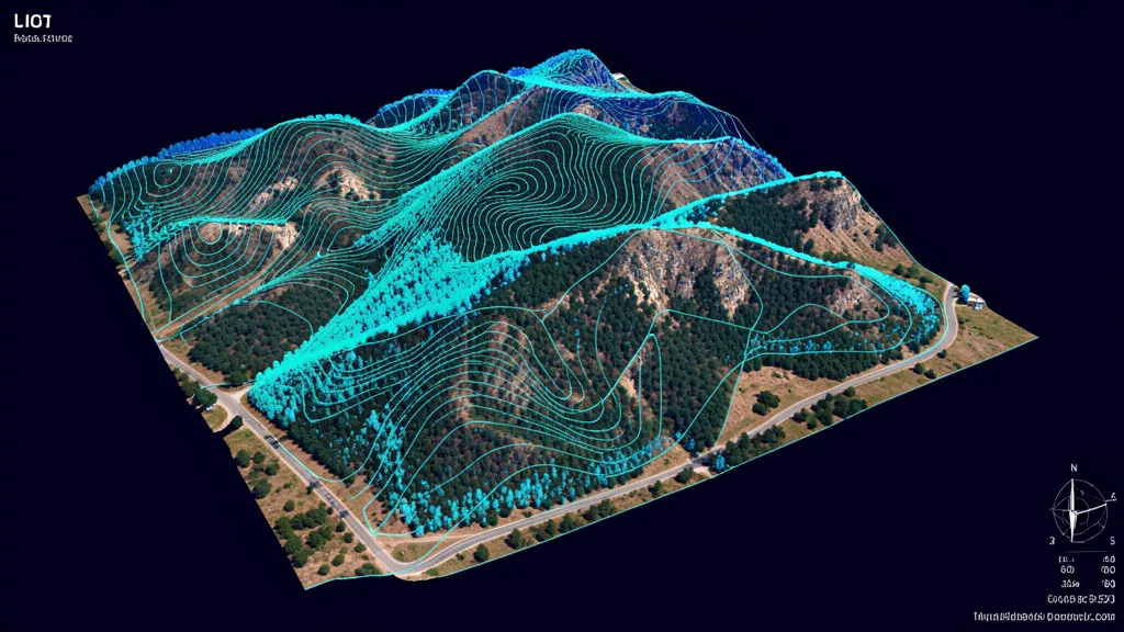
Topographic Data Collection
High-resolution terrain data for construction and engineering.
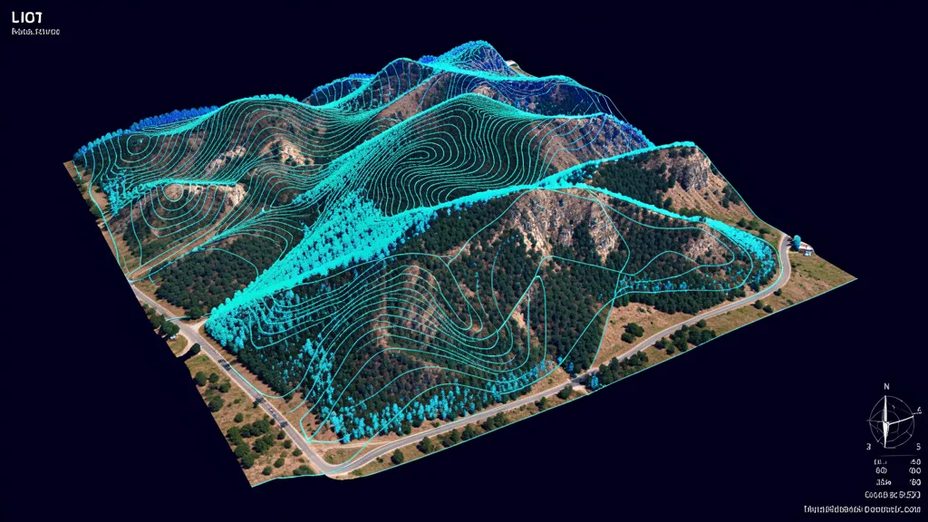
LiDAR Scanning
Precision 3D models with LiDAR for vegetation penetration.
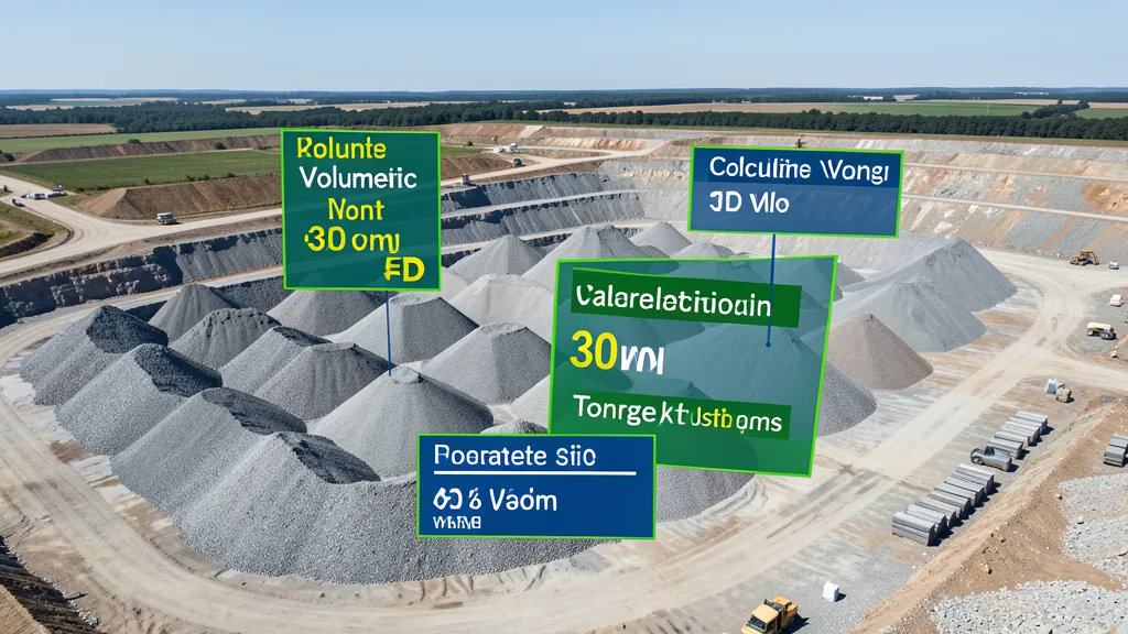
Volumetric Analysis
Stockpile measurement, cut/fill, and inventory tracking.
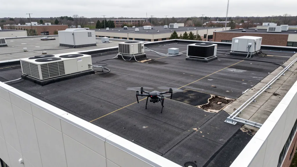
Roof Inspection
Detailed roof condition reports without ladders or scaffolding.
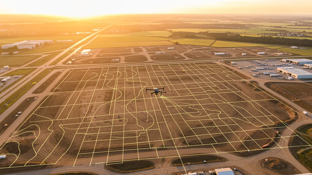
Flight Time Calculator
Estimate flight time, photo count, and GSD for any aerial imaging missions.
Find Local Operators
Browse 625+ cities with local FAA-certified operators.
All Services
11 aerial imaging service categories for any project.
For Drone Operators
Join our network and get matched with local projects.
How It Works
Submit, get matched, compare quotes. Three simple steps.
Cost estimates are based on marketplace data from 625+ cities across 15 states and industry research. Actual quotes vary based on site access, terrain complexity, vegetation density, required accuracy, deliverable format, turnaround time, and operator availability. These estimates are for planning purposes only and do not constitute a binding quote. Request quotes through the form above to get actual pricing from local FAA-certified operators.