Drone Survey Services in El Paso, TX
From the $3B+ military construction at Fort Bliss — the largest U.S. Army installation — to border logistics warehousing and Texas Tech Health El Paso, this isolated desert metro drives sustained survey demand at the nexus of military, logistics, and healthcare development.
Serving El Paso County & the El Paso-Las Cruces area
Request a Free Quote
Get Matched With a Local Surveyor
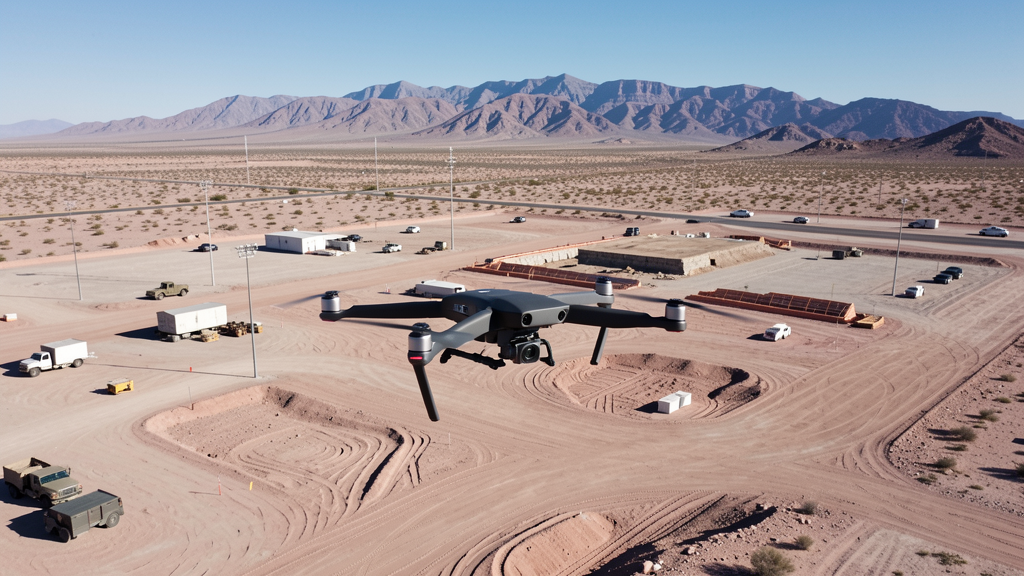
Drone Survey Services Available in El Paso, TX
The El Paso-Las Cruces metro is home to 850,000 residents and anchored by Fort Bliss, the largest U.S. Army installation by land area at 1.12 million acres. The $3B+ military construction program, border logistics boom along the I-10 corridor, and Texas Tech Health El Paso medical campus expansion generate sustained demand for topographic surveys, construction monitoring, and LiDAR mapping. El Paso's geographic isolation from other major Texas metros creates a self-contained survey market with distinct desert terrain and airspace considerations.
Drone Surveys for El Paso's Construction Market
El Paso is experiencing a border logistics boom driven by cross-border trade and the expansion of I-10 through the metro. The $3B+ military construction program at Fort Bliss — the largest U.S. Army installation at 1.12 million acres — includes barracks, training facilities, aviation hangars, and medical facilities, creating massive survey demand under federal contract vehicles. Texas Tech Health El Paso is expanding its medical campus with new hospitals and research facilities. The city's population has grown to 680,000 with the metro reaching 850,000, driving residential development on the eastside and in the Lower Valley. Border logistics warehousing along the I-10 corridor near Ysleta and the Zaragoza port of entry is a major commercial construction sector. The El Paso Water Utilities capital improvement program and TxDOT highway projects add infrastructure survey demand.
Active Developers in the Area:
Typical Project Costs in Texas
Cost ranges are based on market data for El Paso-Las Cruces. Actual pricing depends on site size, complexity, and deliverables.
| Service Type | Low End | High End |
|---|---|---|
| Topographic Survey | $1,400 | $4,200 |
| Drone Inspection | $200 | $700 |
| LiDAR Scanning | $2,400 | $8,500 |
| Environmental Monitoring | $800 | $3,200 |
| Aerial Imagery | $150 | $450 |
| Construction Monitoring | $850 | $2,600 |
| Real Estate Photography | $140 | $400 |
| Roof Inspection | $175 | $650 |
Local Airspace & Regulations in El Paso, TX
FAA Part 107 Requirements
All commercial drone operations in Texas require the pilot to hold an active FAA Part 107 Remote Pilot Certificate. Our network surveyors are verified Part 107 holders.
State Drone Laws
Texas Government Code Chapter 423 restricts drone use over critical infrastructure facilities, including oil and gas pipelines, refineries, power plants, and water treatment facilities. HB 1484 (2023) added protections for agricultural operations and expanded penalties for drone surveillance of private property. Commercial operators must hold a valid FAA Part 107 Remote Pilot Certificate. Texas does not require a separate state drone license, but operators flying near critical infrastructure must obtain authorization from the facility owner. The Texas Department of Public Safety maintains additional guidelines for drone operations near state facilities.
Local Ordinances
El Paso does not issue a separate city-level drone permit for commercial operators. FAA Part 107 certification and LAANC authorization for ELP Class C airspace are the primary requirements. Commercial filming on city property requires a permit through the El Paso Film Commission. The city prohibits drone takeoff and landing in city parks without a special use permit, including Keystone Heritage Park, San Jacinto Plaza, and Memorial Park. Flights near the U.S.-Mexico border should be coordinated with CBP. Flights over Fort Bliss require authorization from Fort Bliss Range Control. Flights from private property (with owner permission) must comply with all FAA Part 107 rules and Texas Government Code Chapter 423 critical infrastructure restrictions.
Restricted Airspace
- Class C airspace around El Paso International Airport (ELP) — located within city limits. LAANC authorization is required for commercial drone flights within the Class C shelves, which extend across central and eastern El Paso. The airport is one of the busiest in West Texas with commercial airline traffic, military cross-field operations, and general aviation.
- Biggs Army Airfield (BIG) — military restricted airspace on Fort Bliss. This is a U.S. Army airfield supporting training operations and is strictly off-limits to drone flights without explicit authorization from Fort Bliss Range Control. The restricted airspace overlays significant portions of northeast El Paso. Any survey work near the Fort Bliss eastern boundary requires coordination with military authorities.
- Fort Bliss military installation — at 1.12 million acres, Fort Bliss is the largest U.S. Army installation by land area. Drone flights over the installation are prohibited without authorization. The post spans from northeast El Paso into New Mexico. The $3B+ military construction program includes barracks, training facilities, aviation hangars, and medical facilities — all generating survey demand, but survey work must be coordinated through Fort Bliss DPW and contract vehicles.
- U.S.-Mexico border zone — CBP and border security operations maintain heightened surveillance along the Rio Grande. While not formal restricted airspace, drone flights near the border should be coordinated with CBP. Flights south of I-10 and near the border fence require extra caution and may attract law enforcement attention. Always carry Part 107 documentation and project authorization.
- Franklin Mountains State Park — the largest urban park in the nation at 26,000+ acres, running north-south through central El Paso. While not formal restricted airspace, drone flights in Texas state parks require a permit from Texas Parks and Wildlife. The mountainous terrain creates wind turbulence and challenging flight conditions, especially in afternoon hours.
- Dust storms and weather: El Paso experiences severe dust storms (haboobs) during spring and early summer, reducing visibility to near zero. High winds and extreme heat (100°F+ days common May through September) significantly impact flight windows. Morning flights are strongly preferred. The arid climate also means rapid battery drain in high temperatures — monitor battery levels closely.
Airports in the area: undefined (undefined), undefined (undefined), undefined (undefined)
Why Hire Through Aerius View in El Paso, TX?
FAA-Certified
Every surveyor holds an active Part 107 Remote Pilot Certificate.
Local to El Paso
Surveyors who know the Texas airspace and local permitting.
No Cost to Quote
Submit your project at no charge. Pay the surveyor directly if you proceed.
Fast Turnaround
A local surveyor contacts you within 2 business days.
How Our El Paso Matching Process Works
We're actively building our network of FAA-certified drone operators in El Paso, TX. Here's exactly what happens when you submit a project request.
Submit Your Project
Tell us your site location, acreage, and what you need (topographic survey, LiDAR, inspection, etc.). Takes 60 seconds. No cost, no obligation.
We Match & Vet
We identify Part 107-certified operators in Texas with the right equipment for your project. Every pilot is verified for active certification, insurance, and relevant experience in Texas airspace.
You Get Quotes
Matched surveyors contact you within 2 business days with quotes. You compare pricing, timelines, and deliverables, then choose the right fit. You pay the surveyor directly, no markup.
What Deliverables Do You Get?
Every project includes professional-grade deliverables compatible with standard construction and engineering software:
- Orthomosaic maps (GeoTIFF) for site overview and documentation
- Point clouds (LAS/LAZ) for 3D modeling and volumetric analysis
- DEM/DSM terrain models for cut/fill and grade analysis
- Contour lines (DXF/DWG, CAD-ready) for Civil 3D and Revit
- Progress reports with side-by-side comparisons for construction monitoring
- Coordinate systems matched to your project datum (State Plane, UTM, or local)
Insurance & Liability Protection
Pilot Insurance Required
Every operator in our network must carry active liability insurance. Minimum coverage: $1,000,000 general liability. Proof of insurance is verified before any pilot joins the network.
FAA Part 107 Verified
We confirm each pilot's Remote Pilot Certificate is active and in good standing through the FAA Airmen Inquiry system. Expired certificates are flagged automatically.
Equipment Documentation
Pilots list their drone models, sensors (RGB, LiDAR, thermal, multispectral), and payload specs so we can match the right equipment to your project requirements.
Site Safety Coordination
Pilots coordinate with your site superintendent for safe operations on active construction sites, including flight plans that avoid worker areas and equipment zones.
El Paso, TX Drone Survey FAQs
Do I need a permit for a drone survey in El Paso?
El Paso does not issue a separate city-level drone permit for commercial operators. FAA Part 107 certification is mandatory. LAANC authorization is required for flights within the ELP Class C airspace, which covers central and eastern El Paso. Biggs Army Airfield (BIG) and Fort Bliss are military restricted airspace — drone flights require authorization from Fort Bliss Range Control. Drone takeoff and landing in city parks requires a special use permit from El Paso Parks and Recreation.
How much does a drone survey cost in El Paso?
El Paso pricing is generally 10-15% below Austin and Dallas metro rates due to the lower cost of living. Topographic surveys typically range from $1,400 to $4,200. LiDAR scanning runs $2,400 to $8,500 for the desert terrain and mountainous sites near the Franklin Mountains. Roof inspections cost $175 to $650 per building. Construction monitoring is typically $850 to $2,600 per month for recurring flights at Fort Bliss military construction sites and border logistics warehouses.
Can I fly a drone near Fort Bliss?
Fort Bliss is the largest U.S. Army installation by land area at 1.12 million acres. Drone flights over the installation are strictly prohibited without authorization from Fort Bliss Range Control. Biggs Army Airfield (BIG) on the post is military restricted airspace. However, the $3B+ military construction program at Fort Bliss generates substantial survey demand — this work is performed under federal contract vehicles with base access credentials. Civilian drone operators cannot fly over the installation without prior coordination.
Are there restrictions near the U.S.-Mexico border?
While not formal restricted airspace, the U.S.-Mexico border zone is subject to heightened surveillance by CBP and other agencies. Drone flights near the border fence and south of I-10 should be coordinated with CBP. Always carry Part 107 documentation and project authorization. Flights near the Zaragoza and Ysleta ports of entry require extra caution due to cross-border traffic and security operations.
What weather considerations affect drone operations in El Paso?
El Paso's desert climate presents unique challenges. Severe dust storms (haboobs) are common in spring and early summer, reducing visibility to near zero. Temperatures regularly exceed 100°F from May through September, causing rapid battery drain and reducing flight times. High winds through the Franklin Mountains corridor create turbulence. Morning flights (before 10 AM) are strongly preferred, especially during summer months. Always monitor battery levels closely in extreme heat.
What makes El Paso unique for drone survey work?
El Paso combines three powerful demand drivers: the $3B+ military construction program at Fort Bliss (the largest U.S. Army installation), a border logistics boom with warehousing along the I-10 corridor, and healthcare expansion including Texas Tech Health El Paso. The city's geographic isolation means it has a self-contained survey market with less competition than Austin or Dallas. The desert terrain is ideal for aerial photogrammetry with minimal vegetation interference, though dust and heat require careful flight planning. The El Paso-Las Cruces metro of 850,000 residents sustains residential and commercial development on the eastside and in the Lower Valley.
Nearby Cities
Are You a Drone Surveyor in El Paso?
Get pre-qualified leads in your service area. No membership fees, no monthly minimums. First lead free.
Ready to Start Your Project in El Paso, TX?
Get matched with a local, FAA-certified surveyor. No cost, no obligation.
Request a Free Quote