Drone Survey Services in Farmington, NM
Four Corners high desert landscape with Animas River valley and mesa formations
Serving San Juan County & the Farmington Metropolitan Area area
Request a Free Quote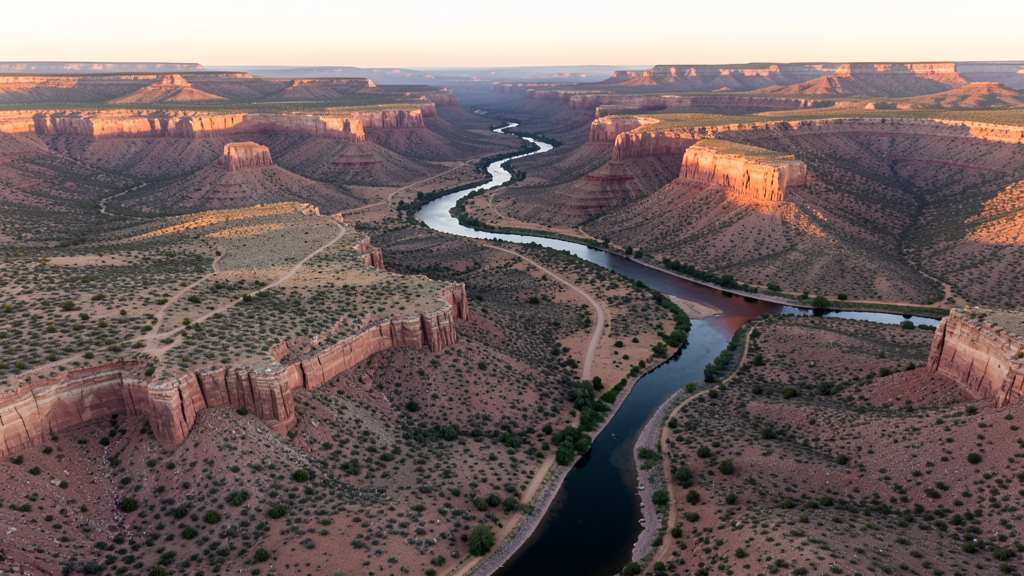
Get Matched With a Local Surveyor
Drone Survey Services Available in Farmington, NM
Farmington serves the Four Corners region as a healthcare and energy hub. Natural gas pipeline infrastructure and San Juan Regional Medical Center expansion drive construction, with surrounding Navajo Nation lands adding regulatory complexity for drone operations.
Drone Surveys for Farmington's Construction Market
Farmington is the hub of the Four Corners region, serving northwestern New Mexico, southwestern Colorado, and southeastern Utah. Construction is driven by natural gas infrastructure, healthcare expansion at San Juan Regional Medical Center, and the Four Corners Power Plant area. The San Juan Basin natural gas fields create ongoing demand for pipeline and facility survey work.
Active Developers in the Area:
- San Juan Regional Medical Center — Hospital expansion and medical office construction
- Natural gas pipeline companies — Pipeline infrastructure and compressor station construction
- City of Farmington — Municipal facility upgrades and road infrastructure

Typical Project Costs in New Mexico
Cost ranges are based on market data for Farmington Metropolitan Area. Actual pricing depends on site size, complexity, and deliverables.
| Service Type | Low End | High End |
|---|---|---|
| Topographic Survey | $1,300 | $6,500 |
| Drone Inspection | $500 | $2,800 |
| LiDAR Scanning | $2,000 | $10,000 |
| Environmental Monitoring | $1,000 | $5,000 |
| Aerial Imagery | $300 | $1,800 |
| Construction Monitoring | $600 | $3,000 |
| Real Estate Photography | $200 | $1,200 |
| Roof Inspection | $250 | $1,500 |
Local Airspace & Regulations in Farmington, NM
FAA Part 107 Requirements
All commercial drone operations in New Mexico require the pilot to hold an active FAA Part 107 Remote Pilot Certificate. Our network surveyors are verified Part 107 holders.
State Drone Laws
New Mexico enacted SB 240 (2021), the UAS Act, which established a state UAS Advisory Commission under the New Mexico Department of Transportation and preempted local municipalities from enacting their own drone flight regulations. The law prohibits weaponization of drones and restricts surveillance of private property without consent. New Mexico hosts extensive restricted military airspace — including White Sands Missile Range, Kirtland Air Force Base, Cannon Air Force Base (home to the 27th Special Operations Wing MQ-9 Reaper drone operations), Holloman Air Force Base (F-16 and MQ-9 training), and Los Alamos National Laboratory — each with active no-drone zones. Spaceport America near Truth or Consequences has restricted airspace during launch operations. Commercial operators must hold a valid FAA Part 107 Remote Pilot Certificate. The state does not require a separate state drone license, but operators flying near military installations, national laboratories, or tribal lands must coordinate with the controlling agency. New Mexico's high desert terrain and density altitude considerations affect drone performance at elevations above 5,000 feet.
Local Ordinances
Farmington follows FAA Part 107 regulations. The city does not have additional municipal drone ordinances. The surrounding Navajo Nation tribal lands require authorization from the Navajo Nation government for any drone flights. Oil and gas operators in the San Juan Basin may have private restrictions near their facilities.
Restricted Airspace
- Class D airspace around Four Corners Regional Airport (FMN)
- Durango-La Plata Class C airspace approximately 35 miles north
- Navajo Nation tribal lands surround the city require tribal authorization
- Oil and gas infrastructure with potential TFRs throughout San Juan Basin
Airports in the area: Four Corners Regional Airport (FMN), Durango-La Plata County Airport (DRO)
Why Hire Through Aerius View in Farmington, NM?
FAA-Certified
Every surveyor holds an active Part 107 Remote Pilot Certificate.
Local to Farmington
Surveyors who know the New Mexico airspace and local permitting.
No Cost to Quote
Submit your project at no charge. Pay the surveyor directly if you proceed.
Fast Turnaround
A local surveyor contacts you within 2 business days.
How Our Farmington Matching Process Works
We're actively building our network of FAA-certified drone operators in Farmington, NM. Here's exactly what happens when you submit a project request.
Submit Your Project
Tell us your site location, acreage, and what you need (topographic survey, LiDAR, inspection, etc.). Takes 60 seconds. No cost, no obligation.
We Match & Vet
We identify Part 107-certified operators in New Mexico with the right equipment for your project. Every pilot is verified for active certification, insurance, and relevant experience in New Mexico airspace.
You Get Quotes
Matched surveyors contact you within 2 business days with quotes. You compare pricing, timelines, and deliverables, then choose the right fit. You pay the surveyor directly, no markup.
What Deliverables Do You Get?
Every project includes professional-grade deliverables compatible with standard construction and engineering software:
- Orthomosaic maps (GeoTIFF) for site overview and documentation
- Point clouds (LAS/LAZ) for 3D modeling and volumetric analysis
- DEM/DSM terrain models for cut/fill and grade analysis
- Contour lines (DXF/DWG, CAD-ready) for Civil 3D and Revit
- Progress reports with side-by-side comparisons for construction monitoring
- Coordinate systems matched to your project datum (State Plane, UTM, or local)
Insurance & Liability Protection
Pilot Insurance Required
Every operator in our network must carry active liability insurance. Minimum coverage: $1,000,000 general liability. Proof of insurance is verified before any pilot joins the network.
FAA Part 107 Verified
We confirm each pilot's Remote Pilot Certificate is active and in good standing through the FAA Airmen Inquiry system. Expired certificates are flagged automatically.
Equipment Documentation
Pilots list their drone models, sensors (RGB, LiDAR, thermal, multispectral), and payload specs so we can match the right equipment to your project requirements.
Site Safety Coordination
Pilots coordinate with your site superintendent for safe operations on active construction sites, including flight plans that avoid worker areas and equipment zones.
Farmington, NM Drone Survey FAQs
Can I fly a drone over Navajo Nation land near Farmington?
The Navajo Nation surrounds Farmington on multiple sides. Drone operations over Navajo Nation tribal lands require authorization from the Navajo Nation government. Contact the appropriate tribal office for permits and coordination. Do not assume open land is public, as tribal boundaries may not be clearly marked.
What drone services are most in demand in Farmington?
Natural gas pipeline survey and inspection is the primary drone service demand. The San Juan Basin has extensive gas infrastructure requiring ongoing monitoring. Healthcare facility construction monitoring and residential development survey work also create steady demand.
How close is Farmington to Durango controlled airspace?
Durango-La Plata County Airport (DRO) in Colorado has Class C airspace approximately 35 miles north of Farmington. Drone operators in northern San Juan County should check sectional charts for the Class C shelf extension into New Mexico.
Are there oil and gas flight restrictions in the Farmington area?
The San Juan Basin has extensive natural gas infrastructure. While not all facilities are in restricted airspace, individual operators may have security policies regarding drone overflights. Coordinate with energy companies before flying near compressor stations, processing plants, and pipeline corridors.
What is the Four Corners significance for drone operations?
Farmington is the only city in the US near the Four Corners point where four states meet. Drone operators should be aware that flights near state boundaries may cross into Colorado, Utah, or Arizona airspace. Always check which state airspace you are operating in for regulatory compliance.
How does Farmington elevation affect drone flying?
Farmington sits at approximately 5,400 feet elevation at the confluence of the Animas and San Juan Rivers. The river valley creates micro-climates with morning fog potential. The high elevation reduces drone performance, and summer temperatures above 90 degrees compound the density altitude effect.
Nearby Cities
Are You a Drone Surveyor in Farmington?
Get pre-qualified leads in your service area. No membership fees, no monthly minimums. First lead free.
Ready to Start Your Project in Farmington, NM?
Get matched with a local, FAA-certified surveyor. No cost, no obligation.
Request a Free Quote