Roof Inspection in Pearland, TX
Drone roof inspections with high-resolution imagery and 3D modeling. Identify damage, assess condition, and generate detailed reports for insurance and maintenance.
Serving Brazoria County & the Houston-The Woodlands-Sugar Land area
Request a Free Quote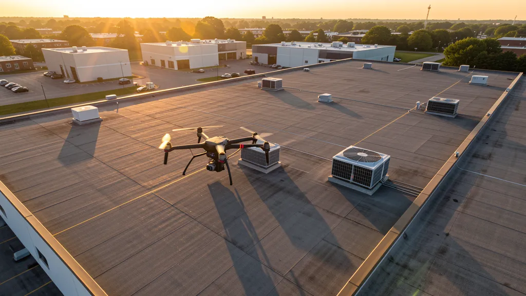
Get Matched With a Local Operator
Roof Inspection Pricing in Pearland, TX
Low End
$200
High End
$750
Turnaround
1-2 days
Cost ranges are based on market data for Houston-The Woodlands-Sugar Land. Actual pricing depends on site size, complexity, and deliverables.
Common Roof Inspection Applications in Pearland
- Pre-purchase roof assessments
- Insurance claim documentation
- Storm damage evaluation
- Routine maintenance inspections
Local Drone Regulations
Roof inspections in Pearland require compliance with local drone regulations:
Local Drone Ordinances:
Pearland does not issue a separate city-level drone permit for commercial operators. FAA Part 107 certification and LAANC authorization for HOU Class C and SGR Class D airspace are the primary requirements. Commercial filming on city property requires a permit through the Pearland Parks and Recreation Department. Drone takeoff and landing in city parks requires a special use permit, including Centennial Park, Independence Park, and Pearland Sports Complex. Flights from private property (with owner permission) do not require a city permit but must comply with all FAA Part 107 rules and Texas Government Code Chapter 423 critical infrastructure restrictions.
Restricted Airspace in Pearland:
- Class C airspace around Houston Hobby (HOU) — located 8 miles north. HOU Class C shelves extend into northern Pearland, covering the SH 288 corridor and the Pearland Town Center area. LAANC authorization required for commercial drone flights north of FM 518.
- Class D airspace around Sugar Land Regional Airport (SGR) — located 10 miles west. SGR Class D extends into western Pearland, covering the Shadow Creek Ranch area. LAANC authorization required.
- Class B airspace around Houston Intercontinental (IAH) — northeastern Pearland may fall within the southern shelves of IAH Class B. Check FAA UAS Facility Maps for altitude restrictions in the far northeastern corner of the city.
- NASA Johnson Space Center — located 12 miles southeast. While not formal restricted airspace, JSC has enhanced security zones. Drone flights near JSC should be coordinated with NASA security, especially during launch events and testing operations.
- Pearland Regional Airport (LVJ) — general aviation airport within city limits. Uncontrolled Class E airspace but active GA traffic including flight training. Monitor CTAF and maintain visual separation.
- Shadow Creek Ranch and Silverlake — large MPCs with active construction zones. Drone flights over construction sites require coordination with site managers per FAA Part 107.39.
- Severe weather: Pearland is in the Houston metro hurricane risk zone. Hurricane season (June-November) can produce high winds, tornadoes, and flooding. Post-hurricane roof inspection and flood damage documentation is a major aerial imaging use case. The city experienced significant flooding during Hurricane Harvey (2017) and Tax Day floods (2016).
Texas drone regulations require FAA Part 107 certification for all commercial drone operations. Our network of verified operators in Pearland meets all federal and state requirements.
Drone Regulations in Pearland, TX
Airports & LAANC Zones
- HOU — Houston Hobby Airport (Class C, 8 miles north — LAANC required for northern Pearland)
- IAH — Houston Intercontinental (Class B, 25 miles northeast — northern shelves may affect northeastern Pearland)
- SGR — Sugar Land Regional Airport (Class D, 10 miles west — LAANC required for western Pearland)
Restricted Airspace
- Class C airspace around Houston Hobby (HOU) — located 8 miles north. HOU Class C shelves extend into northern Pearland, covering the SH 288 corridor and the Pearland Town Center area. LAANC authorization required for commercial drone flights north of FM 518.
- Class D airspace around Sugar Land Regional Airport (SGR) — located 10 miles west. SGR Class D extends into western Pearland, covering the Shadow Creek Ranch area. LAANC authorization required.
- Class B airspace around Houston Intercontinental (IAH) — northeastern Pearland may fall within the southern shelves of IAH Class B. Check FAA UAS Facility Maps for altitude restrictions in the far northeastern corner of the city.
- NASA Johnson Space Center — located 12 miles southeast. While not formal restricted airspace, JSC has enhanced security zones. Drone flights near JSC should be coordinated with NASA security, especially during launch events and testing operations.
- Pearland Regional Airport (LVJ) — general aviation airport within city limits. Uncontrolled Class E airspace but active GA traffic including flight training. Monitor CTAF and maintain visual separation.
- Shadow Creek Ranch and Silverlake — large MPCs with active construction zones. Drone flights over construction sites require coordination with site managers per FAA Part 107.39.
- Severe weather: Pearland is in the Houston metro hurricane risk zone. Hurricane season (June-November) can produce high winds, tornadoes, and flooding. Post-hurricane roof inspection and flood damage documentation is a major aerial imaging use case. The city experienced significant flooding during Hurricane Harvey (2017) and Tax Day floods (2016).
Local Ordinances
Pearland does not issue a separate city-level drone permit for commercial operators. FAA Part 107 certification and LAANC authorization for HOU Class C and SGR Class D airspace are the primary requirements. Commercial filming on city property requires a permit through the Pearland Parks and Recreation Department. Drone takeoff and landing in city parks requires a special use permit, including Centennial Park, Independence Park, and Pearland Sports Complex. Flights from private property (with owner permission) do not require a city permit but must comply with all FAA Part 107 rules and Texas Government Code Chapter 423 critical infrastructure restrictions.
All drone operations in Pearland must comply with FAA Part 107 rules. Operators must obtain LAANC authorization before flying in controlled airspace near Pearland airports. Our network operators handle all permitting and airspace authorizations as part of their service.
Roof Inspection FAQ — Pearland, TX
How does a drone roof inspection work in Pearland?
We fly a drone equipped with high-resolution and optional thermal cameras over your roof in Pearland, capturing detailed imagery of every surface, flashing, and penetration. No ladders, no scaffolding, no risk to personnel.
Can drone roof inspections detect leaks?
Yes. Thermal imaging detects moisture trapped under roofing materials by temperature differentials. This identifies active leaks and areas of concern before they become visible inside the building.
What does a roof inspection report include?
Your report includes high-resolution photos organized by roof section, a condition assessment with annotated problem areas, thermal imagery (if requested), and 3D model data for measurement and documentation. Reports are suitable for insurance claims and maintenance planning.
Drone Regulations FAQ — Pearland, TX
Do I need a permit for an aerial imaging in Pearland?
Pearland does not issue a separate city-level drone permit for commercial operators. FAA Part 107 certification is mandatory. LAANC authorization is required for northern Pearland within HOU Class C and western Pearland within SGR Class D. Drone takeoff and landing in city parks requires a special use permit from Pearland Parks and Recreation.
How much does an aerial imaging cost in Pearland?
Pearland pricing is consistent with the Houston metro average. Topographic data collection projects typically range from $1,600 to $4,800. LiDAR scanning runs $2,600 to $8,800. Roof inspections cost $200 to $750 per building. Construction monitoring is typically $900 to $2,800 per month for recurring flights at MPC sites like Shadow Creek Ranch or Silverlake.
How does Houston Hobby Airport affect drone operations in Pearland?
Houston Hobby (HOU) is located 8 miles north and its Class C airspace extends into northern Pearland, covering the SH 288 corridor and Pearland Town Center area. LAANC authorization is required for all commercial drone flights north of FM 518. HOU has heavy commercial airline traffic, so always check FAA UAS Facility Maps for altitude restrictions.
Are there special considerations for flying near NASA Johnson Space Center?
JSC is located 12 miles southeast. While not formal restricted airspace, JSC has enhanced security zones. Drone flights near JSC should be coordinated with NASA security, especially during launch events and testing operations. The Clear Lake industrial corridor between Pearland and JSC has active commercial and aerospace manufacturing development.
Does Pearland's hurricane risk affect aerial imaging planning?
Yes. Pearland is in the Houston metro hurricane zone (June-November). Post-hurricane roof inspection and flood damage documentation is a major aerial imaging use case. The city experienced severe flooding during Hurricane Harvey (2017) and the Tax Day floods (2016). Data collection work in flood-prone areas near Clear Creek and Mustang Bayou requires weather monitoring and coordination with Brazoria County Emergency Management.
What makes Pearland unique for aerial imaging work?
Pearland has grown from 37,000 to 130,000 in 20 years, driven by the SH 288 managed lane corridor and massive MPCs (Shadow Creek Ranch, Silverlake). The city's proximity to NASA Johnson Space Center and the Clear Lake aerospace corridor creates commercial spillover. HOU Class C airspace in the north and SGR Class D in the west make LAANC planning essential. Hurricane-zone weather creates a significant post-storm inspection market.
All Aerial Imaging Services in Pearland, TX
Compare pricing across all aerial imaging services available in Pearland, Texas.
| Service | Low End | High End | Turnaround |
|---|---|---|---|
| Topographic Data Collection | $1,600 | $4,800 | 3-5 days |
| Drone Inspection | $225 | $800 | 1-2 days |
| LiDAR Scanning | $2,600 | $8,800 | 5-7 days |
| Environmental Monitoring | $850 | $3,400 | 2-4 days |
| Aerial Imagery | $175 | $500 | 1-2 days |
| Construction Monitoring | $900 | $2,800 | Monthly |
| Real Estate Photography | $150 | $450 | 1-2 days |
| Roof Inspection ← you are here | $200 | $750 | 1-2 days |
Pricing ranges are based on market data for Houston-The Woodlands-Sugar Land. Actual costs depend on project scope, site conditions, and required deliverables.
Are You a Drone Operator in Pearland, TX?
Join our network of FAA-certified operators. Get matched with roof inspection projects in Pearland and the surrounding Houston-The Woodlands-Sugar Land area.
Apply to Join