Drone Survey Services in St. George, UT
Mojave Desert city at 2,800 feet with red rock mesas and Pine Valley Mountain backdrop
Serving Washington County & the St. George Metropolitan Area area
Request a Free Quote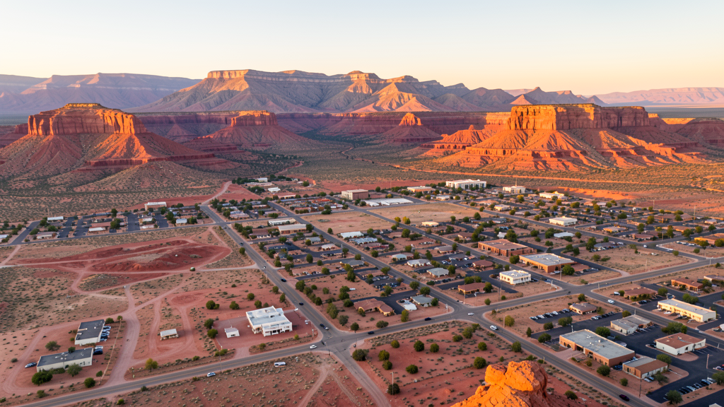
Get Matched With a Local Surveyor
Drone Survey Services Available in St. George, UT
St. George is the fastest-growing metro in Utah, driven by retirement community development, university expansion, and healthcare facilities. Zion National Park to the east creates a no-drone zone, while the desert climate and rapid growth create sustained drone survey demand.
Drone Surveys for St. George's Construction Market
St. George is the fastest-growing metro area in Utah and one of the fastest in the US. Construction is driven by massive retirement community development, the Dixie State University campus expansion, healthcare facilities at Intermountain Healthcare, and resort and hospitality development. Major projects include the Dixie State University stadium, the St. George Regional Hospital expansion, and extensive residential development in the Washington Fields and SunRiver areas. The city is a major destination for retirees from the western US.
Active Developers in the Area:
- Dixie State University — Campus expansion including stadium, academic buildings, and student housing
- Intermountain Healthcare — St. George Regional Hospital expansion and medical office construction
- Retirement community developers — SunRiver and Washington Fields master-planned retirement communities

Typical Project Costs in Utah
Cost ranges are based on market data for St. George Metropolitan Area. Actual pricing depends on site size, complexity, and deliverables.
| Service Type | Low End | High End |
|---|---|---|
| Topographic Survey | $1,600 | $7,000 |
| Drone Inspection | $500 | $3,000 |
| LiDAR Scanning | $2,500 | $12,000 |
| Environmental Monitoring | $1,300 | $6,000 |
| Aerial Imagery | $350 | $2,000 |
| Construction Monitoring | $700 | $3,500 |
| Real Estate Photography | $300 | $1,500 |
| Roof Inspection | $300 | $1,800 |
Local Airspace & Regulations in St. George, UT
FAA Part 107 Requirements
All commercial drone operations in Utah require the pilot to hold an active FAA Part 107 Remote Pilot Certificate. Our network surveyors are verified Part 107 holders.
State Drone Laws
Utah enacted SB 167 (2019), establishing state authority over UAS operations and preempting local municipalities from regulating drone flight paths, airspace, or pilot requirements. SB 210 (2021) added privacy protections and restrictions on drone surveillance of private property. Utah has significant restricted military airspace including Hill Air Force Base (home to F-35 and F-16 fighter wings and the Ogden Air Logistics Center), Dugway Proving Ground, and Utah Test and Training Range. The state also has extensive National Park and National Monument no-drone zones, including Zion, Bryce Canyon, Arches, Canyonlands, Capitol Reef, and Grand Staircase-Escalante. Commercial operators must hold a valid FAA Part 107 Remote Pilot Certificate. Utah does not require a separate state drone license. Operators flying near military installations, national parks, tribal lands, or ski areas must coordinate with the controlling agency. Utah mountain terrain and winter weather create significant operational challenges, with density altitude affecting performance at elevations above 5,000 feet and winter storms limiting flying windows.
Local Ordinances
St. George follows FAA Part 107 regulations. Under Utah state law (SB 167, 2019), only the state may regulate drone flight paths. Zion National Park, approximately 40 miles east, is a strict no-drone zone under National Park Service regulations. Red Cliffs National Conservation Area near the city has BLM flight restrictions.
Restricted Airspace
- Class D airspace around St. George Regional Airport (SGU)
- Zion National Park no-drone zone to the east (NPS restriction)
- Red Cliffs National Conservation Area flight restrictions nearby
- Open desert terrain with minimal restrictions beyond airport and park
Airports in the area: St. George Regional Airport (SGU)
Why Hire Through Aerius View in St. George, UT?
FAA-Certified
Every surveyor holds an active Part 107 Remote Pilot Certificate.
Local to St. George
Surveyors who know the Utah airspace and local permitting.
No Cost to Quote
Submit your project at no charge. Pay the surveyor directly if you proceed.
Fast Turnaround
A local surveyor contacts you within 2 business days.
How Our St. George Matching Process Works
We're actively building our network of FAA-certified drone operators in St. George, UT. Here's exactly what happens when you submit a project request.
Submit Your Project
Tell us your site location, acreage, and what you need (topographic survey, LiDAR, inspection, etc.). Takes 60 seconds. No cost, no obligation.
We Match & Vet
We identify Part 107-certified operators in Utah with the right equipment for your project. Every pilot is verified for active certification, insurance, and relevant experience in Utah airspace.
You Get Quotes
Matched surveyors contact you within 2 business days with quotes. You compare pricing, timelines, and deliverables, then choose the right fit. You pay the surveyor directly, no markup.
What Deliverables Do You Get?
Every project includes professional-grade deliverables compatible with standard construction and engineering software:
- Orthomosaic maps (GeoTIFF) for site overview and documentation
- Point clouds (LAS/LAZ) for 3D modeling and volumetric analysis
- DEM/DSM terrain models for cut/fill and grade analysis
- Contour lines (DXF/DWG, CAD-ready) for Civil 3D and Revit
- Progress reports with side-by-side comparisons for construction monitoring
- Coordinate systems matched to your project datum (State Plane, UTM, or local)
Insurance & Liability Protection
Pilot Insurance Required
Every operator in our network must carry active liability insurance. Minimum coverage: $1,000,000 general liability. Proof of insurance is verified before any pilot joins the network.
FAA Part 107 Verified
We confirm each pilot's Remote Pilot Certificate is active and in good standing through the FAA Airmen Inquiry system. Expired certificates are flagged automatically.
Equipment Documentation
Pilots list their drone models, sensors (RGB, LiDAR, thermal, multispectral), and payload specs so we can match the right equipment to your project requirements.
Site Safety Coordination
Pilots coordinate with your site superintendent for safe operations on active construction sites, including flight plans that avoid worker areas and equipment zones.
St. George, UT Drone Survey FAQs
Can I fly a drone near Zion National Park from St. George?
Zion National Park, approximately 40 miles east of St. George, is a strict no-drone zone under National Park Service regulations. Drone operations are prohibited within park boundaries. The park boundary is far enough from St. George that most city drone operations are not affected, but operators traveling east toward Springdale and Zion should be aware of the park boundary.
What drone services are most needed in St. George?
Retirement community development survey and construction monitoring are primary demands. Dixie State University campus expansion requires institutional survey. Hospital expansion creates healthcare facility survey needs. Residential development in Washington Fields and SunRiver creates steady topographic survey demand. The rapid growth rate creates sustained construction monitoring opportunities.
Does St. George have controlled airspace?
St. George Regional Airport (SGU) has Class D airspace. Drone operators flying within the Class D radius need LAANC authorization. The airport serves commercial flights and general aviation. The airport relocated to a new site on a mesa top south of the city in 2011.
How does St. George summer heat affect drone flying?
St. George is one of the hottest cities in Utah, with summer temperatures frequently exceeding 105 degrees. The Mojave Desert location provides no shade. Drone battery life and motor performance are severely reduced. Schedule flights for early morning hours. The extreme heat makes midday operations challenging for both equipment and operators.
What makes St. George the fastest-growing metro in Utah?
St. George attracts retirees from across the western US due to warm climate, outdoor recreation access, and relatively affordable housing. The city is also growing as a healthcare and education hub for southwestern Utah. The combination of retirement, university, and healthcare expansion creates diverse construction demand for drone survey services.
Can I fly a drone over the Red Cliffs National Conservation Area?
The Red Cliffs National Conservation Area, north of St. George, is managed by the Bureau of Land Management. Drone flights over BLM National Conservation Areas are regulated. Check current BLM guidelines and obtain any required permits before flying in the conservation area. The red rock terrain is a popular recreation area.
Nearby Cities
Are You a Drone Surveyor in St. George?
Get pre-qualified leads in your service area. No membership fees, no monthly minimums. First lead free.
Ready to Start Your Project in St. George, UT?
Get matched with a local, FAA-certified surveyor. No cost, no obligation.
Request a Free Quote