Drone Flight Time & Coverage Estimator
Calculate Ground Sample Distance (GSD) from flight altitude, estimate total flight time, photo count, and battery swaps for any aerial imaging mission. Supports 16 mapping drones from multirotor to fixed-wing.
Free to use. No signup required. Sensor specs from manufacturer data sheets. A product of AeriusView.
How to use this flight time estimator
Select your drone model and enter your site size. The GSD Calculator tab shows Ground Sample Distance (the real-world ground area each pixel represents, measured in cm/px) for a given altitude. The Flight Time Estimator tab computes flight lines, image count, total flight time, and battery swaps for your mission.
Choose your aircraft to load sensor dimensions. 16 mapping drones supported.
Drag the slider or type an altitude. FAA Part 107 ceiling is 400 ft (122 m) without a waiver.
GSD Results
Reverse Calculation: Altitude from Target GSD
Enter your required resolution and get the flight altitude needed to achieve it.
Ready to plan your mission?
Sensor specs and flight time limits are loaded automatically per drone.
Total survey area in acres. The calculator assumes a roughly square site.
Altitude above ground level. The FAA Part 107 ceiling is 400 ft (122 m) without a waiver.
Altitude will be computed from the selected drone's sensor and your target GSD.
Forward overlap between consecutive photos. 75% is standard for photogrammetry.
Lateral overlap between flight lines. 65% is standard; 70%+ for vegetated terrain.
Flight Mission Estimate
--
Need an Operator?
Get quotes from FAA-certified local operators for your exact project.
Get Quotes from Local OperatorsAre You a Drone Operator?
Sign up to get matched with flight jobs in your area.
Sign Up to Get Matched Flight JobsSelect a drone and enter your site acreage to estimate flight time and coverage.
Results update automatically as you change inputs.
Get Quotes from Local Operators
Tell us about your project. A local FAA-certified drone operator will contact you within 2 business days with a quote.
What happens after you submit:
- We match your project with up to 3 local FAA-certified drone operators.
- A drone operator contacts you within 2 business days to discuss scope and pricing.
- You compare quotes and choose the best fit, with no obligation.
- You only pay the drone operator you hire. AeriusView never charges you.
Aerial Imaging Flight Planning Guide
Understanding GSD and data collection Accuracy
Ground Sample Distance (GSD) is the single most important number in aerial imaging planning. It defines the real-world ground area that each pixel in your imagery represents, measured in centimeters per pixel. A GSD of 1.5 cm/px means each pixel covers a 1.5 by 1.5 centimeter patch of ground. Lower GSD means higher resolution, more detail, and better measurement accuracy.
GSD is determined by four factors: sensor width, focal length, image width in pixels, and flight altitude. The formula is straightforward. GSD (cm/px) = (flight altitude in meters x sensor width in mm) / (focal length in mm x image width in pixels) x 100. Flying lower reduces GSD. Using a larger sensor or longer focal length also reduces GSD at the same altitude. A full-frame sensor like the 35.9mm sensor on the DJI Matrice 350 with Zenmuse P1 produces 1.0 cm GSD at 60 meters, while a 1-inch sensor like the DJI Air 2S produces 2.5 cm GSD at the same altitude.
Typical GSD targets vary by use case. Construction site aerial imaging flights and topographic mapping require 1 to 2 cm GSD for accurate volume calculations, cut/fill analysis, and grade verification. Agricultural aerial imaging flights, NDVI analysis, and crop health mapping work well at 2 to 5 cm GSD. Large-area overview imagery, progress tracking, and real estate photography can use 5 to 10 cm GSD.
Horizontal accuracy is typically 1 to 3 times GSD. Vertical accuracy is 2 to 5 times GSD. A data collection at 2 cm GSD with RTK correction achieves 2 to 6 cm horizontal accuracy and 4 to 10 cm vertical accuracy. Understanding GSD lets you set the right altitude for your deliverable requirements and compare drone platforms on an apples-to-apples basis. Use the GSD calculator above to test different altitudes and drone models for your target resolution.
Planning Your Aerial Imaging Flight
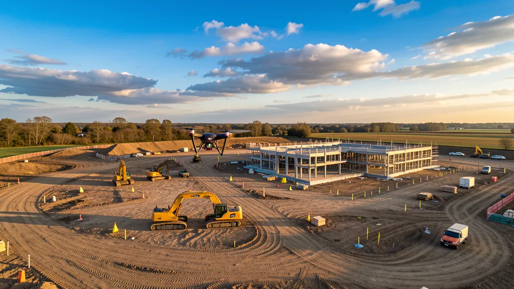
A well-planned aerial imaging flight saves time in the field and produces better deliverables. The planning process starts with defining your site boundary and target GSD, then working backward to altitude, flight lines, overlap, and battery requirements.
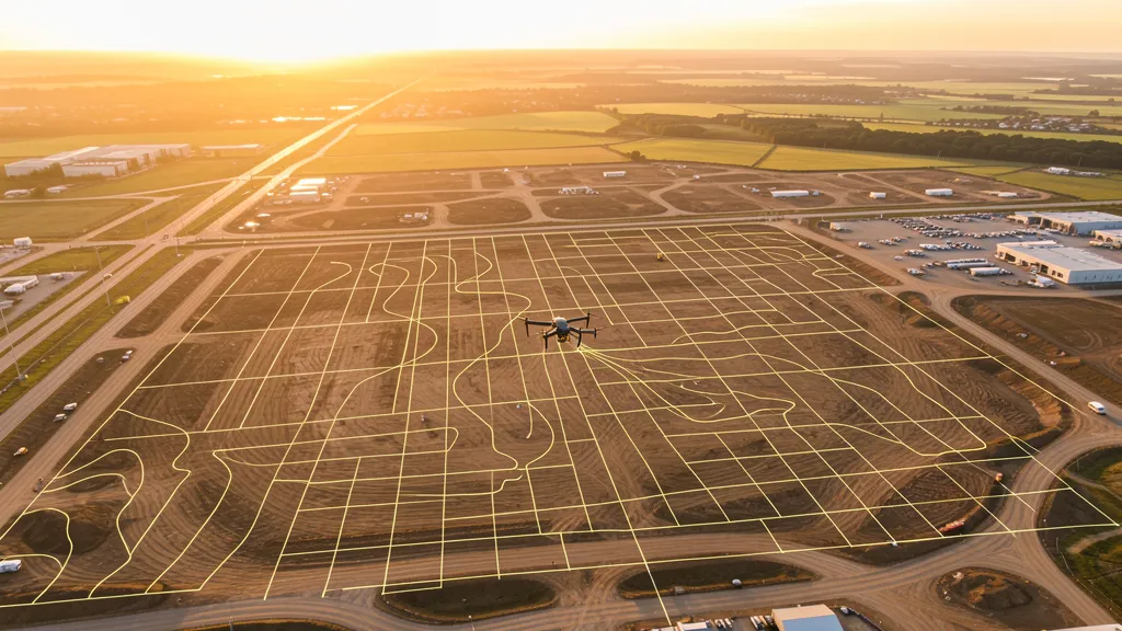
Flight line planning follows a systematic grid pattern. The drone flies parallel lines back and forth across the site, with line spacing determined by altitude, sensor footprint, and side overlap. Most mapping software like DJI Pilot 2, WingtraPilot, or Pix4Dcapture auto-generates the flight plan once you set the boundary and parameters. Line direction should run perpendicular to the prevailing wind to minimize drift during turns. For irregularly shaped sites, break the mission into sub-areas to keep flight lines efficient.
Overlap selection depends on terrain and deliverable type. Standard mapping uses 75% front overlap and 65% side overlap. Increase to 80/70 for 3D models, dense vegetation, or complex structures. Decrease to 70/60 for flat open terrain like agricultural fields or stockpile yards.
Battery management is critical for large sites. Plan to land at 20% remaining battery. Account for 10% to 20% reduction from spec-sheet flight times due to wind, temperature, and payload. Carry one extra battery beyond your calculated need as a buffer. Cold weather below 10°C (50°F) reduces battery performance by 15% to 30%.
Turn time adds up. Each 180-degree turn at the end of a flight line takes 20 to 40 seconds depending on the drone and wind. A 50-acre site with 12 flight lines adds 4 to 8 minutes of pure turn time. Plan for 5 minutes of takeoff and landing time per battery cycle. Schedule flights for mid-morning on clear, calm days when winds are below 8 to 12 m/s and lighting is consistent.
Choosing the Right Drone for Your Project
Drone selection comes down to three platform types: multirotor, fixed-wing, and VTOL (Vertical Take-Off and Landing). Each has distinct advantages depending on site size, terrain, accuracy requirements, and budget.
Multirotor drones are the most common choice for sites under 50 to 80 acres. They excel at precise, low-altitude flights for high-resolution mapping. The DJI Phantom 4 RTK and Mavic 3 Enterprise are the workhorses of construction site aerial imaging, offering 30 to 45 minutes of flight time and centimeter-level accuracy with RTK. The DJI Matrice 350 RTK with Zenmuse P1 is the top choice for maximum resolution, with a full-frame 45MP sensor that captures 1 cm GSD at 60 meters. Their limitation is coverage: even the best multirotor covers only 60 to 80 acres per battery.
Fixed-wing drones like the senseFly eBee X and AeroScout B1 cover 300 to 400 acres per flight at higher cruise speeds (15 to 18 m/s) with longer endurance (55 to 60 minutes). They require a runway or catapult launch and cannot hover, making them impractical for small or confined sites. Fixed-wings are ideal for agricultural mapping and environmental monitoring over hundreds of acres.
VTOL drones like the WingtraOne Gen II combine the best of both. They take off vertically, then transition to fixed-wing flight for efficient coverage. The WingtraOne covers 400 to 500 acres per flight with a full-frame 42MP Sony sensor and RTK accuracy, but comes at a premium price ($15,000 to $30,000+).
Sensor size directly affects coverage. A full-frame 35mm sensor captures roughly 2.5 times more ground per photo than a 1-inch sensor at the same GSD, reducing flight lines and photo count. Compare all 16 supported drone models in the calculator above to find the right fit for your project.
Flight Time & GSD Calculator FAQ
What is GSD (Ground Sample Distance) in aerial imaging?
GSD, or Ground Sample Distance, is the real-world size of each pixel in your drone imagery, measured in centimeters per pixel (cm/px). A GSD of 2 cm means one pixel in the photo represents 2 centimeters on the ground. Lower GSD values mean higher resolution and more detail. GSD is determined by the drone's sensor size, focal length, image resolution, and flight altitude. Flying lower produces a smaller GSD (higher resolution), while flying higher produces a larger GSD (lower resolution but more ground coverage per photo). For construction site aerial imaging flights, a GSD of 1 to 2 cm is standard. Agricultural aerial imaging flights typically use 2 to 5 cm GSD. Overview or progress imagery can work at 5 to 10 cm GSD. Use the GSD calculator above to find the right altitude for your target resolution and drone model.
How do you calculate drone flight time for a data collection?
Flight time is calculated by dividing the total flight line distance by the drone's cruise speed, then adding turn time between lines and takeoff/landing time. The total line distance depends on site area, flight altitude (which sets the ground footprint per photo), and overlap settings. For example, a 50-acre site flown at 80 meters with 75% front overlap and 65% side overlap on a DJI Mavic 3 Enterprise produces roughly 12 to 15 flight lines. At 15 m/s cruise speed with 30-second turns, that is 25 to 35 minutes of flight time plus 5 minutes for takeoff and landing. Battery swaps add 5 to 10 minutes each. The calculator above handles all of this automatically. Enter your site size, altitude, overlap, and drone model to get an accurate estimate for your specific mission.
What overlap percentage should I use for drone mapping?
For standard photogrammetry mapping, use 75% front overlap and 65% side overlap as a baseline. These values work well for most construction, topographic, and aerial imagery projects. Increase front overlap to 80% and side overlap to 70% for sites with dense vegetation, complex terrain, or when producing 3D models and point clouds. For flat, open terrain like agricultural fields or stockpile yards, you can drop to 70% front and 60% side overlap to reduce flight time and photo count. Going below 60% overlap risks gaps in the point cloud and failed processing. Flying with higher overlap than needed wastes battery and increases processing time without improving results. RTK-equipped drones like the Phantom 4 RTK or Matrice 350 allow slightly lower overlap because positional accuracy is higher, but overlap is still the dominant factor in photogrammetry quality.
How many photos does an aerial imaging take?
Photo count depends on site area, flight altitude, sensor size, and overlap settings. A good rule of thumb is 2 to 5 photos per acre at standard overlap (75% front, 65% side) and 80 meters altitude. A 10-acre site typically produces 20 to 50 photos. A 50-acre site produces 100 to 250 photos. A 100-acre site can generate 200 to 500 photos. Higher overlap or lower altitude increases the count significantly. For example, dropping from 80 meters to 50 meters on the same 50-acre site can double the photo count from 150 to 300. More photos means longer processing times, larger storage requirements, and more battery swaps in the field. The calculator above gives you an exact photo count based on your drone's sensor specs, altitude, and overlap. Buyers should expect 100 to 500 photos for typical construction site aerial imaging flights.
How does altitude affect aerial imaging accuracy?
Altitude directly controls GSD, which is the foundation of data collection accuracy. Flying at 50 meters with a DJI Phantom 4 RTK (Real-Time Kinematic GPS correction for centimeter-level positioning) produces roughly 1.4 cm GSD. At 100 meters, the same drone produces 2.8 cm GSD. At 120 meters (the FAA Part 107 maximum without a waiver), GSD reaches 3.4 cm. Horizontal accuracy is typically 1 to 3 times the GSD, so a 2 cm GSD data collection achieves 2 to 6 cm horizontal accuracy with RTK. Vertical accuracy is usually 2 to 5 times GSD. Flying lower improves accuracy but reduces ground coverage per photo, requiring more flight lines, more photos, and more battery time. Flying higher covers more ground faster but degrades accuracy. The right altitude depends on your deliverable requirements. Construction sites typically fly 60 to 90 meters. Agricultural aerial imaging flights fly 80 to 120 meters. Use the calculator to find the altitude that hits your target GSD.
What is the difference between front overlap and side overlap?
Front overlap (also called forward overlap or endlap) is the overlap between consecutive photos along the same flight line, in the direction of travel. Side overlap (also called sidelap) is the overlap between adjacent parallel flight lines, perpendicular to the direction of travel. Both are expressed as percentages. Standard values are 75% front overlap and 65% side overlap. Front overlap matters more for photogrammetry because it ensures the software can match features between sequential images as the drone moves forward. Side overlap ensures coverage between flight lines and prevents gaps. If side overlap is too low, you get visible stripes of missing data in the orthomosaic. Front overlap can be adjusted by changing the photo trigger interval or flight speed. Side overlap is controlled by the spacing between flight lines, which is set by altitude and sensor footprint.
How many batteries do I need for an aerial imaging?
Battery count depends on total flight time and the drone's per-battery flight time. Most mapping drones fly 25 to 45 minutes per battery in real-world conditions, not the advertised maximum. Wind, temperature, and payload reduce actual flight time by 10% to 20% from the spec sheet. For a 50-acre site requiring 30 minutes of flight time, one battery is sufficient on a DJI Mavic 3 Enterprise (45 min spec, 35 min realistic). For a 100-acre site requiring 60 minutes, you need 2 to 3 batteries with swaps. For 200+ acres, plan for 4 to 6 batteries. Each battery swap takes 5 to 10 minutes including landing, swapping, and re-establishing GPS lock. In cold weather below 10°C (50°F), battery performance drops 15% to 30%, so carry extra packs. Always land at 20% battery remaining to protect cell health. The calculator above factors in realistic flight time per battery and outputs the number of batteries needed for your mission.
Which drone is best for aerial imaging large areas?
For sites over 100 acres, fixed-wing and VTOL (Vertical Takeoff and Landing) drones are significantly more efficient than multirotors. The WingtraOne Gen II (VTOL) covers 400 to 500 acres per flight thanks to its 55-minute flight time and 16 m/s cruise speed with a full-frame 42MP sensor. The senseFly eBee X (fixed-wing) covers 300 to 400 acres per flight at similar speeds. Multirotors like the DJI Matrice 350 RTK cover 60 to 80 acres per battery, requiring multiple swaps for large sites. For sites under 50 acres, multirotors are the better choice because they handle complex terrain, can fly lower for higher resolution, and are easier to transport and set up. The DJI Phantom 4 RTK and Mavic 3 Enterprise are popular for construction sites under 50 acres. The calculator above lets you compare coverage across all 16 supported drone models to find the right platform for your project size and accuracy requirements.
Related Resources
Aerial Imaging Cost Calculator
Estimate per-project pricing by service type, acreage, and state.
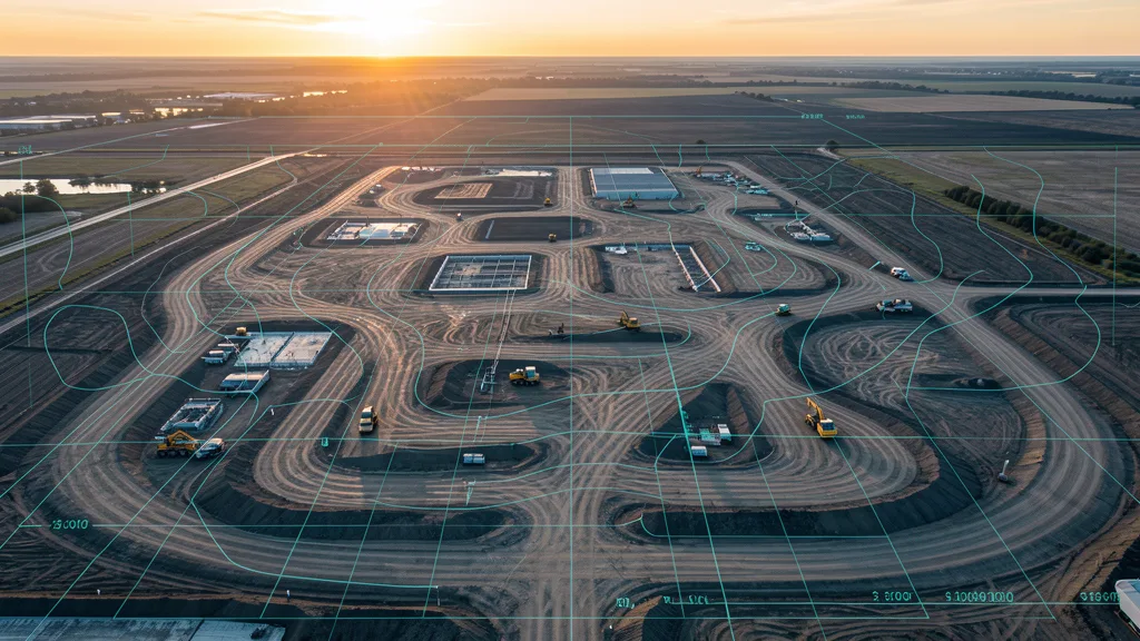
Aerial Imaging ROI Calculator
Compare drone vs traditional ground-based methods costs, time, and accuracy.
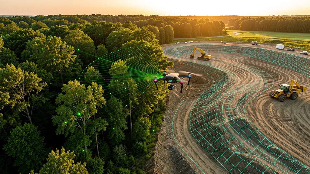
LiDAR vs Photogrammetry Wizard
Find the right capture method for your accuracy and site needs.
Aerial Imaging Glossary
Definitions for GSD, RTK, PPK, orthomosaic, and 40+ imaging terms.
Find Local Operators
Browse 625+ cities with local FAA-certified operators.
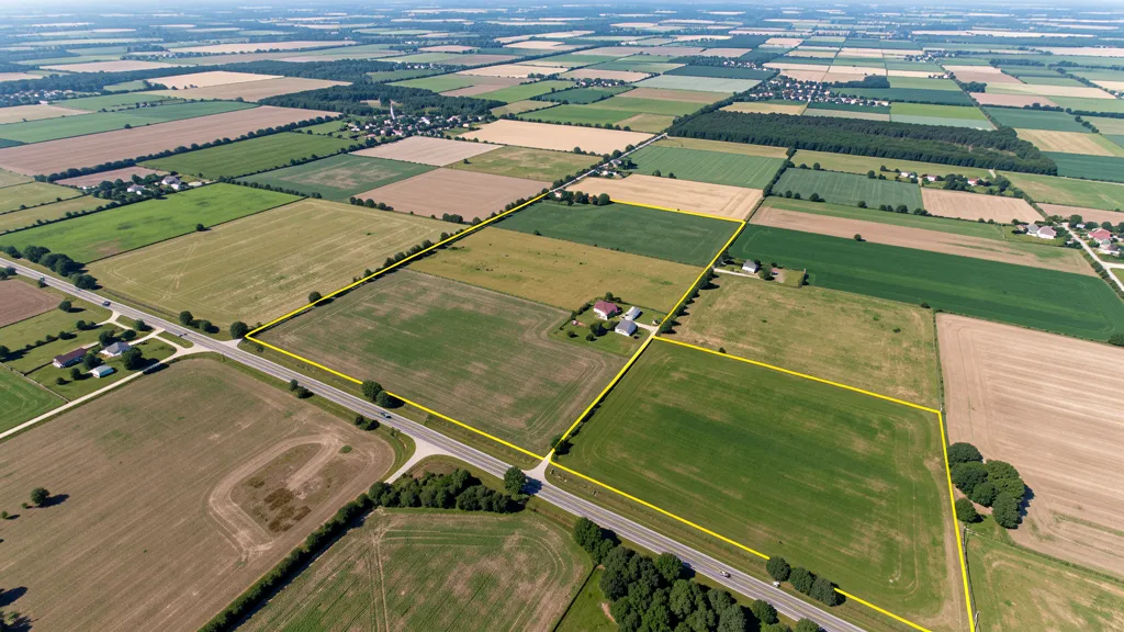
Our Services
11 aerial imaging service categories for any project.
How It Works
Submit, get matched, compare quotes. Three simple steps.
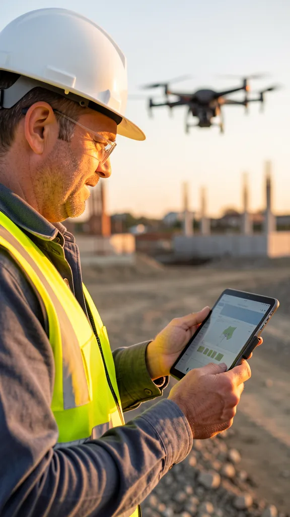
For Drone Operators
Join our network and get matched with local projects.
Flight time estimates are based on manufacturer spec sheets, standard photogrammetry overlap settings, and ideal flight conditions. Actual flight time varies with wind, temperature, terrain complexity, GCP placement, transit distance, and battery health. Battery swap estimates assume 80% usable battery capacity. GSD calculations use sensor width, focal length, and image resolution from published specifications. These estimates are for planning purposes only and do not constitute a binding quote. Contact AeriusView through the form above to get accurate project quotes from local FAA-certified operators.