LiDAR vs Photogrammetry
Which Method Do You Need?
Answer 7 quick questions about your project. Our wizard analyzes your requirements and recommends the right aerial imaging method with cost estimates and rationale.
Free to use. No signup required. Get matched with local operators who fly the right equipment.
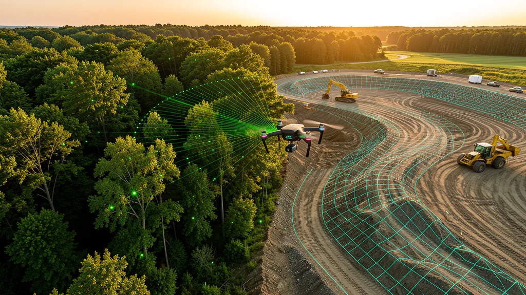
Quick Comparison
| Feature | Photogrammetry | LiDAR |
|---|---|---|
| Cost per acre | $80 - $500 | $400 - $1,200 |
| Vegetation penetration | ✕ | ✓ |
| Vertical accuracy | 2-5 cm | 1-3 cm |
| Horizontal accuracy (RTK) | 1-2 cm | 1-2 cm |
| Works in low light | ✕ | ✓ |
| Color orthomosaic | ✓ | ✕ |
| Textured 3D model | ✓ | ✕ |
| Equipment cost | $2K-$15K | $5K-$50K+ |
| Operator availability | Widely available | Specialized |
| Best for | Open sites, construction, volumes | Vegetation, engineering, infrastructure |
LiDAR vs Photogrammetry FAQ
What is the difference between LiDAR and photogrammetry?
LiDAR uses laser pulses to directly measure distances to the ground, creating precise 3D point clouds. It can penetrate vegetation and works in challenging conditions. Photogrammetry uses overlapping aerial photos and software to reconstruct 3D models from image matching. It is cheaper and produces visually rich color deliverables but cannot see through vegetation and requires good lighting.
Is LiDAR always more accurate than photogrammetry?
Not always. LiDAR has better vertical accuracy (1-3 cm) and excels in vegetated terrain. But photogrammetry with RTK GPS can achieve 1-2 cm horizontal accuracy, which is sufficient for most construction and engineering projects. For flat, open sites, photogrammetry can match or exceed LiDAR accuracy at a lower cost.
How much more does LiDAR cost than photogrammetry?
3D scanning flights typically cost 2-3x more than photogrammetry for the same site. A 10-acre photogrammetry data collection might cost $1,500-$3,000, while LiDAR for the same site could run $3,000-$8,000. The price difference comes from the expensive LiDAR sensors ($5K-$50K+) and more complex data processing.
Can I use both LiDAR and photogrammetry on the same project?
Yes. Many operators fly a dual-sensor drone that captures both LiDAR and RGB photos simultaneously. This gives you a bare-earth DEM from LiDAR plus a color orthomosaic from photogrammetry. It costs more than either method alone but provides the most complete dataset. This is common for complex infrastructure and engineering projects.
Which method is better for construction progress monitoring?
Photogrammetry is almost always the better choice for construction monitoring. Construction sites are typically open (minimal vegetation), the visual orthomosaic is more useful for progress tracking than a point cloud, and the lower cost allows for more frequent aerial imaging flights. Most construction managers use weekly or monthly photogrammetry flights.
Which method should I use for stockpile volume calculations?
For open stockpiles (no vegetation), photogrammetry is sufficient and more cost-effective. It produces accurate 3D surface models for volume calculation. If stockpiles are covered by vegetation or debris, LiDAR is better because it can penetrate the cover to measure the actual pile surface. Most aggregate and mining stockpiles are open, so photogrammetry is the standard choice.
Do all drone operators offer both LiDAR and photogrammetry?
No. Photogrammetry is widely available because it only requires a standard RGB camera (like a DJI Mavic 3 Enterprise). LiDAR requires specialized sensors that cost $5,000 to $50,000+, so fewer operators offer it. When requesting quotes through AeriusView, you can specify your preferred method and we will match you with operators who have the right equipment.
Related Resources
Aerial Imaging Cost Calculator
Estimate pricing by service type, acreage, and state.
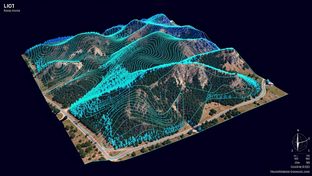
LiDAR Scanning Service
Precision 3D models with LiDAR for vegetation penetration.
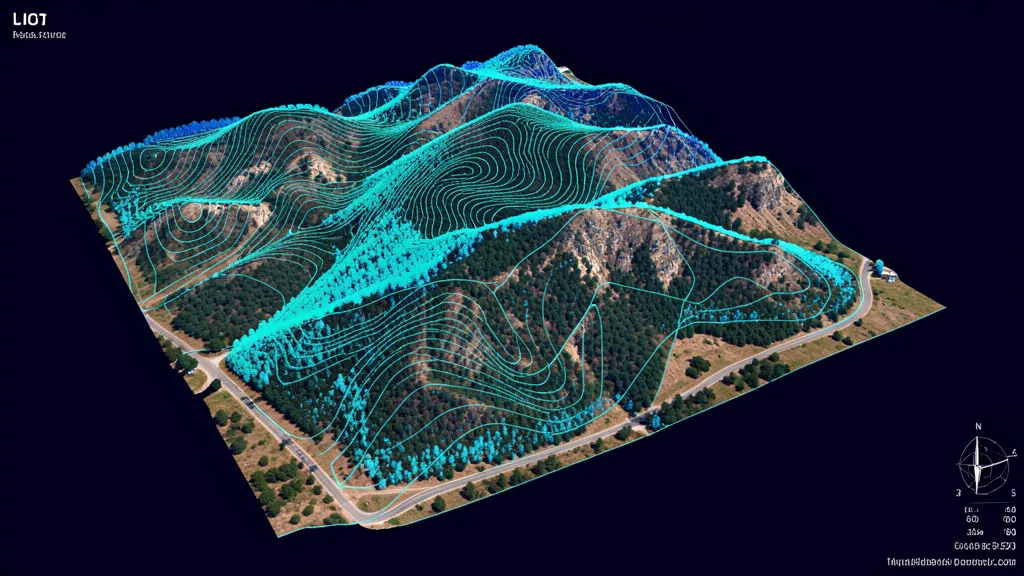
Topographic Data Collection
Terrain maps, contour lines, and elevations.
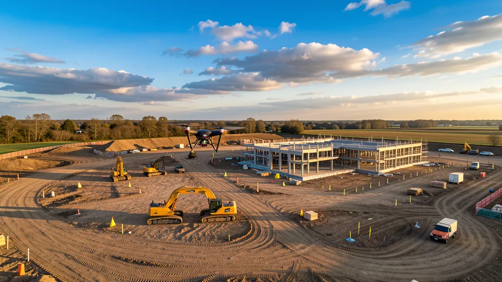
Aerial Imaging Glossary
80+ terms defined: GSD, RTK, PPK, orthomosaic, and more.
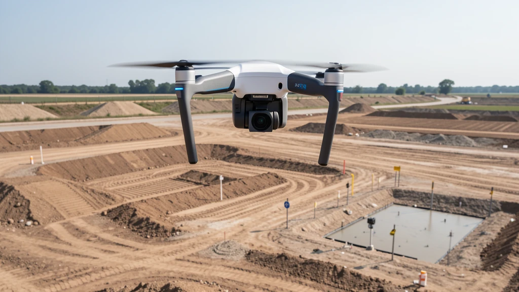
Aerial Imaging vs traditional ground-based methods
Cost, speed, and accuracy comparison with ground methods.
Find Local Operators
Browse 625+ cities with local FAA-certified operators.
For Drone Operators
Join our network and get matched with local projects.
How It Works
Submit, get matched, compare quotes. Three simple steps.
Get Free Quotes
Tell us about your project. A local FAA-certified drone operator will contact you within 2 business days.