Drone Survey Services in Lone Tree, CO
Lone Tree is anchored by the RidgeGate master-planned community and corporate campus expansion including Charles Schwab, with the RTD light rail extension driving transit-oriented development under the busy KAPA Class D airspace.
Serving Douglas County & the Denver-Aurora-Lakewood MSA area
Request a Free Quote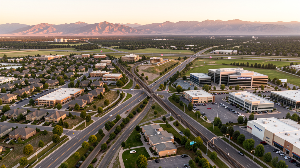
Get Matched With a Local Surveyor
Drone Survey Services Available in Lone Tree, CO
Lone Tree is an affluent city in Douglas County situated along the C-470 and I-25 corridors south of the Denver Tech Center. The city is known for the RidgeGate master-planned community, Park Meadows retail center, and major corporate campuses including Charles Schwab. The proximity to Centennial Airport creates a complex airspace environment where nearly all drone operations require LAANC authorization.
Drone Surveys for Lone Tree's Construction Market
Lone Tree is an affluent Douglas County city with steady construction activity driven by the RidgeGate master-planned community, the Park Meadows commercial corridor, and corporate office development. The city has seen significant investment in the RidgeGate Village Center mixed-use project, the Charles Schwab campus expansion, and the Sky Ridge Medical Center campus. The RTD light rail extension to Lone Tree Station has driven transit-oriented development. Growth is approximately 2-3% annually, driven by high-end residential and commercial projects.
Active Developers in the Area:

Typical Project Costs in Colorado
Cost ranges are based on market data for Denver-Aurora-Lakewood MSA. Actual pricing depends on site size, complexity, and deliverables.
| Service Type | Low End | High End |
|---|---|---|
| Topographic Survey | $1,600 | $5,500 |
| Drone Inspection | $1,000 | $3,800 |
| LiDAR Scanning | $3,200 | $9,000 |
| Environmental Monitoring | $1,800 | $5,800 |
| Aerial Imagery | $700 | $2,700 |
| Construction Monitoring | $1,300 | $4,500 |
| Real Estate Photography | $550 | $2,100 |
| Roof Inspection | $600 | $2,300 |
Local Airspace & Regulations in Lone Tree, CO
FAA Part 107 Requirements
All commercial drone operations in Colorado require the pilot to hold an active FAA Part 107 Remote Pilot Certificate. Our network surveyors are verified Part 107 holders.
State Drone Laws
Colorado HB 1070 (2023) aligns state drone law with federal FAA Part 107 requirements. The law prohibits local municipalities from regulating drone flight paths or airspace, but allows cities to regulate takeoff and landing on public property. Colorado does not require a separate state-level drone license. Commercial drone operators must hold a valid FAA Part 107 Remote Pilot Certificate and comply with all federal regulations. The Colorado Department of Transportation has additional guidelines for drone operations near state highways and infrastructure.
Local Ordinances
Lone Tree Municipal Code regulates drone operations in city parks and open space, requiring prior authorization from the Parks and Recreation Department. Commercial drone operators must carry proof of FAA Part 107 certification and liability insurance. Commercial filming permits are issued through the City Clerks Office. The RidgeGate master-planned community may have additional HOA or developer approval requirements for drone operations within the development.
Restricted Airspace
- KAPA Class D surface area directly overlies Lone Tree. The Class D extends 5 NM from Centennial Airport up to 8,000 MSL. Nearly all drone flights in Lone Tree require LAANC authorization.
- KDEN Class B shelves at higher altitudes. Standard drone operations below 400 AGL not impacted.
- Buckley Space Force Base approximately 12 miles northeast with associated TFRs that can affect the broader area.
- Chatfield State Park approximately 5 miles west with Colorado State Parks drone restrictions.
- No national parks nearby. Pike National Forest is approximately 20 miles west with USFS restrictions.
Airports in the area: undefined (undefined), undefined (undefined), undefined (undefined)
Why Hire Through Aerius View in Lone Tree, CO?
FAA-Certified
Every surveyor holds an active Part 107 Remote Pilot Certificate.
Local to Lone Tree
Surveyors who know the Colorado airspace and local permitting.
No Cost to Quote
Submit your project at no charge. Pay the surveyor directly if you proceed.
Fast Turnaround
A local surveyor contacts you within 2 business days.
How Our Lone Tree Matching Process Works
We're actively building our network of FAA-certified drone operators in Lone Tree, CO. Here's exactly what happens when you submit a project request.
Submit Your Project
Tell us your site location, acreage, and what you need (topographic survey, LiDAR, inspection, etc.). Takes 60 seconds. No cost, no obligation.
We Match & Vet
We identify Part 107-certified operators in Colorado with the right equipment for your project. Every pilot is verified for active certification, insurance, and relevant experience in Colorado airspace.
You Get Quotes
Matched surveyors contact you within 2 business days with quotes. You compare pricing, timelines, and deliverables, then choose the right fit. You pay the surveyor directly, no markup.
What Deliverables Do You Get?
Every project includes professional-grade deliverables compatible with standard construction and engineering software:
- Orthomosaic maps (GeoTIFF) for site overview and documentation
- Point clouds (LAS/LAZ) for 3D modeling and volumetric analysis
- DEM/DSM terrain models for cut/fill and grade analysis
- Contour lines (DXF/DWG, CAD-ready) for Civil 3D and Revit
- Progress reports with side-by-side comparisons for construction monitoring
- Coordinate systems matched to your project datum (State Plane, UTM, or local)
Insurance & Liability Protection
Pilot Insurance Required
Every operator in our network must carry active liability insurance. Minimum coverage: $1,000,000 general liability. Proof of insurance is verified before any pilot joins the network.
FAA Part 107 Verified
We confirm each pilot's Remote Pilot Certificate is active and in good standing through the FAA Airmen Inquiry system. Expired certificates are flagged automatically.
Equipment Documentation
Pilots list their drone models, sensors (RGB, LiDAR, thermal, multispectral), and payload specs so we can match the right equipment to your project requirements.
Site Safety Coordination
Pilots coordinate with your site superintendent for safe operations on active construction sites, including flight plans that avoid worker areas and equipment zones.
Lone Tree, CO Drone Survey FAQs
What airspace restrictions apply to drone surveys in Lone Tree?
Lone Tree sits directly under the Class D airspace of Centennial Airport (KAPA), one of the busiest general aviation airports in the United States. Nearly all drone flights in the city require LAANC authorization. The FAA UAS Facility Map for KAPA defines maximum allowable altitudes by grid sector. Operators must check NOTAMs for any TFRs from Buckley SFB.
What is RidgeGate and why does it matter for drone surveying?
RidgeGate is a master-planned community in Lone Tree with residential neighborhoods, the RidgeGate Village Center mixed-use project, commercial office space, and the Charles Schwab campus. It is one of the largest ongoing development projects in Douglas County and creates sustained demand for drone-based construction progress monitoring, topographic mapping, and as-built documentation.
Do I need a permit for commercial drone photography in Lone Tree?
Commercial filming including drone cinematography on city property requires a film permit from the City Clerks Office. Drone takeoff and landing in city parks requires authorization from the Parks and Recreation Department. Operators working within RidgeGate should check with the developer for any additional approval requirements.
How does the RTD light rail extension affect construction drone survey demand in Lone Tree?
The RTD light rail extension to Lone Tree Station has driven transit-oriented development including mixed-use projects at the RidgeGate Village Center. This creates demand for topographic surveys, construction progress monitoring, and as-built documentation along the rail corridor. The transit infrastructure investment continues to attract commercial and residential development.
What major employers and corporate campuses are driving commercial construction in Lone Tree?
Charles Schwab has a major corporate campus in Lone Tree that has undergone expansion. Sky Ridge Medical Center is a large healthcare campus. Park Meadows retail center and the surrounding commercial corridor generate ongoing tenant improvement and redevelopment demand. These corporate and institutional employers drive commercial construction survey demand.
Nearby Cities
Are You a Drone Surveyor in Lone Tree?
Get pre-qualified leads in your service area. No membership fees, no monthly minimums. First lead free.
Ready to Start Your Project in Lone Tree, CO?
Get matched with a local, FAA-certified surveyor. No cost, no obligation.
Request a Free Quote